


Get to know Chongren County
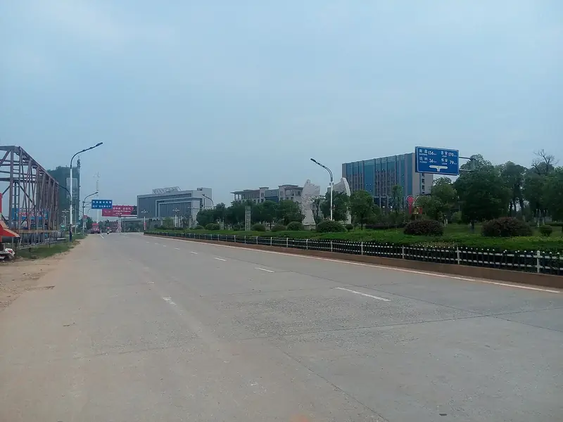
Photo adjustments
Full frame retained; EXIF orientation normalized, proportionally resized to at most 800 pixels and converted to WebP. No generated pixels or subject changes. Cards may crop the display.
- Administrative area
- County · 县
- Part of
- Fuzhou
- Chinese name
- 崇仁县
- Local areas
- County guide
Area & population
- Area in the source
- 1,520.00 km²
- Population · 2019
- 380,000
Source: cited geographic source, as of the dates shown.
Setting and landscape
The land falls from southwest to northeast, forming a hilly basin ringed by mountains on three sides and open to the northeast. Mount Xiang (相山), at 1,219 metres, is the county's highest peak, and more than 140 rivers and streams cross the county.
History
Chongren County was founded in 589 under the Sui, and in the Liang dynasty it had been the seat of Bashan commandery (巴山郡), one of three places in Fuzhou's history to have held a commandery seat. The county produced more than 170 jinshi, the top graduates of the imperial examinations. Two Neo-Confucian scholars were born and taught here: Wu Cheng (吴澄, 1249–1333) of the Yuan, whose circle of teachers and students later scholars called the Caolu school (草庐学派), and Wu Yubi (吴与弼, 1391–1469) of the early Ming, whose Chongren school (崇仁学派) stands first in Huang Zongxi's (黄宗羲) Records of Ming Scholars (明儒学案). Wu Yubi refused office three times, ran the Xiaopi Academy (小陂书院) and taught his students while farming alongside them; Wang Yangming (王阳明) was among the students of his students.
In the Chinese Soviet period Chongren was the northern gateway of the Central Soviet Area, and Zhu De (朱德), Zhou Enlai (周恩来), Chen Yi (陈毅) and Nie Rongzhen (聂荣臻) all fought in the county.
What to see
The county government lists the Taoist temple on Mount Xiang, Mount Luo (罗山), called a "little Lushan" of eastern Jiangxi, and Shenlong Lake (神龙湖), likened to a "little Three Gorges". The Tangxi hot spring (汤溪温泉) in Tangxi village, Ma'an (马鞍镇), is described by the county government as the most radon-rich hot spring in Jiangxi. Yuanye (源野景区) is a national 4A scenic area with a pet park, horse track, go-karts and a pick-your-own farm. A county museum presents the lives and ideas of Wu Cheng and Wu Yubi.
Food and local products
The Chongren speckled chicken is a national geographical-indication product and one of Jiangxi's four famous chickens. Local tradition holds that it was bred about a thousand years ago from wild fowl kept by hill farmers in Xufang (许坊乡), and that Wu Daonan (吴道南), a Chongren man who became Minister of Rites in 1613, brought it from home into the Ming palace. The hens are small but lay large eggs, and the tender meat suits clear stewing. Anshifang glutinous rice wine (安石坊糯谷酒) is another listed local product.
Highlights
- Chongren speckled chicken 崇仁麻鸡: National geographical-indication product; one of Jiangxi's four famous chickens.
- Tangxi Hot Spring 汤溪温泉: Called the most radon-rich hot spring in Jiangxi by the county government.
- Mount Xiang 相山: Highest peak in the county at 1,219 m, with a Taoist temple.
- Mount Luo 罗山: Called a little Lushan of eastern Jiangxi.
- Yuanye Scenic Area 源野景区: National 4A scenic area.
Sources for this guide
县情概况 · Chongren County People's Government
品鉴崇仁|理学之乡 · Chongren County People's Government
崇仁麻鸡:麻鸡起舞赛金凤凰 · Chongren County People's Government
崇仁这些景点,你都到过吗? · Chongren County People's Government
崇仁县 - 维基百科,自由的百科全书 · Wikipedia (Chinese) · CC BY-SA 4.0
Original English written from the listed sources and checked sentence by sentence against quoted extracts by a separate reviewer. Updated 2026-09-25.
Explore Chongren County
Core places to explore, with English and Chinese names.
Chongren County 崇仁县
Plan your visit
Getting there
Chongren County is about 40 km in a straight line from central Fuzhou. Search for 崇仁县 in a map app to find stations and your accommodation.
Where to stay →More in Fuzhou
Sources & geographic information
Administrative names and parent areas: Official geographic directory · Reference date 2026-09-06.
Some facts checked against 崇仁县 — Wikipedia contributors, CC BY-SA 4.0.
Map data © OpenStreetMap contributors. Pins mark approximate centres, not entrances or boundaries.