


Get to know Zhidoi County
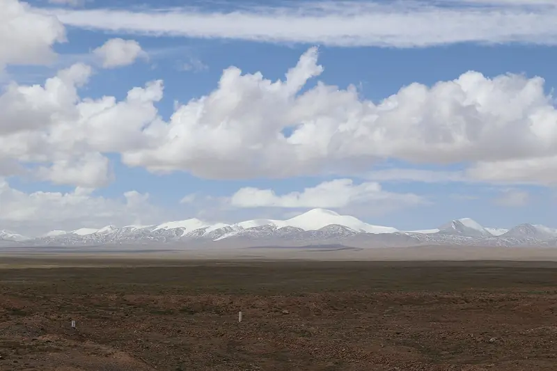
Photo adjustments
EXIF orientation normalized; resized without changing aspect ratio; converted to WebP. No subject edits.
- Administrative area
- County · 县
- Part of
- Yushu Tibetan Autonomous Prefecture
- Chinese name
- 治多县
- Local areas
- County guide
Area & population
- Area in the source
- 80,200.00 km²
- Population · 2020
- 34,496
- Administrative seat
- Gyaijêpozhang
Source: cited geographic source, as of the dates shown.
What to see
At Yeqing Village (叶青村) in Lixin Township (立新乡), the Tongtian River (通天河), an upper reach of the Yangtze, curves around a mountain. The bend is known as Wanli Changjiang Diyi Wan (万里长江第一湾), or the First Bend of the Yangtze.
Landscape and cultural traces
Yeqing Village has a pastoral cultural tradition and was included in the second national list of key rural tourism villages in 2020. Qinghai Daily identifies ancient tombs, rock paintings, a source of material for microliths and an old cypress woodland 60 kilometres from the river bend.
Sources for this guide
【走进三江源国家公园·三江源小百科】万里长江第一湾-政务公开-青海省人民政府网 · Qinghai Government / Qinghai Daily
治多县 - 维基百科,自由的百科全书 · Wikipedia contributors · CC BY-SA 4.0
Original English written from the listed sources and checked sentence by sentence against quoted extracts by a separate reviewer. Updated 2026-09-26.
Explore Zhidoi County
Core places to explore, with English and Chinese names.
Zhidoi County 治多县
Plan your visit
Getting there
Zhidoi County is about 160 km in a straight line from central Yushu Tibetan Autonomous Prefecture. Search for 治多县 in a map app to find stations and your accommodation.
Where to stay →More in Yushu Tibetan Autonomous Prefecture
Sources & geographic information
Administrative names and parent areas: Official geographic directory · Reference date 2026-09-06.
Some facts checked against 治多县 — Wikipedia contributors, CC BY-SA 4.0.
Map data © OpenStreetMap contributors. Pins mark approximate centres, not entrances or boundaries.