


Get to know Laixi
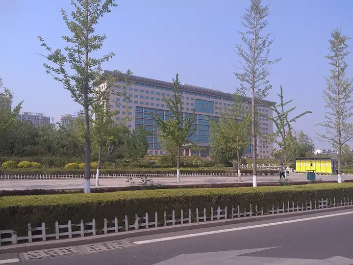
Photo adjustments
EXIF orientation normalized; resized without changing aspect ratio; converted to WebP. No subject edits.
- Administrative area
- County-level city · 县级市
- Part of
- Qingdao
- Chinese name
- 莱西市
- Local areas
- County-level city guide
Area & population
- Area in the source
- 1,568.20 km²
- Population · 2019
- 762,400
Source: cited geographic source, as of the dates shown.
Setting and landscape
Laixi borders Laiyang (莱阳) to the east, Pingdu (平度) to the west along the Xiaogu River (小沽河), Jimo (即墨) to the south, Zhaoyuan (招远) to the north and Laizhou (莱州) to the north-west. It measures 63 km from north to south and 36 km from east to west. The ground falls from low mountains and hills in the north through gently sloping plains in the middle to lowlands in the south, and the highest point, 427.8 m, lies on the Pingdu border.
Most of its 61 rivers, among them the Xiaogu and the Zhu (洙河), belong to the Dagu system. Chanzhi Reservoir (产芝水库), completed in 1958 on the upper-middle Dagu north-east of Chanzhi village, is a large reservoir for flood control, irrigation and water supply. The Jiangshan Wetland (姜山湿地) covers 25 square km. The climate is a temperate continental monsoon type, and about 72 percent of the 635.8 mm of yearly rain falls from June to September.
History
The Han set up Zoulu County (邹卢县) here; the city's English history dates it to 164 BC, under the Jiaodong (胶东) kingdom. The Sui founded Luxiang County (卢乡县) in 596, the Tang merged it into Changyang (昌阳县) in 627, and in the Later Tang Changyang was renamed Laiyang. Laixi County was formed by a merger in May 1950; it was merged into Laiyang County in 1958 and split off again in 1962, passed to Qingdao in October 1983 and became Laixi City in February 1991. Sites from the Longshan culture and the Western Zhou, and a group of Western Han tombs, are protected at city level.
Food and local products
Farming centres on peanuts, fruit and vegetables, and dairy cattle are raised on a large scale. Underground, Laixi has sizeable, high-grade graphite deposits and is one of China's main sources and exporters of the mineral.
Getting oriented
The Qingdao–Rongcheng intercity railway and the Lancun–Yantai railway cross Laixi from north to south, and the Weifang–Laixi high-speed railway runs east to west.
Sources for this guide
Historical Transformation - Laixi · Laixi Municipal People's Government (English site)
Natural Environment - Laixi · Laixi Municipal People's Government (English site)
Geographical Location and Area - Laixi · Laixi Municipal People's Government (English site)
莱西市 - 维基百科,自由的百科全书 · Wikipedia (Chinese) · CC BY-SA 4.0
产芝水库 - 维基百科,自由的百科全书 · Wikipedia (Chinese) · CC BY-SA 4.0
Original English written from the listed sources and checked sentence by sentence against quoted extracts by a separate reviewer. Updated 2026-09-23.
Explore Laixi
Core places to explore, with English and Chinese names.
Plan your visit
Getting there
Laixi is about 90 km in a straight line from central Qingdao. Search for 莱西市 in a map app to find stations and your accommodation.
Where to stay →More in Qingdao
Sources & geographic information
Administrative names and parent areas: Official geographic directory · Reference date 2026-09-06.
Some facts checked against 莱西市 — Wikipedia contributors, CC BY-SA 4.0.
Some facts checked against 产芝水库 — Wikipedia contributors, CC BY-SA 4.0.
Map data © OpenStreetMap contributors. Pins mark approximate centres, not entrances or boundaries.