

Explore the region
Tap any red Chinese text to hear it in Mandarin.
Why this wetland is different
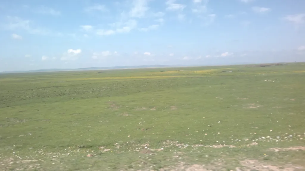
Flower Lake (花湖) lies on Re’er Dam (热尔大坝), beside G213 between Ruo’ergai County and Langmusi in Gansu. It is the middle of three neighbouring lakes: the county government names the smallest Cuo’ergan and the largest Cuoreha. The wetland is part of Ruo’ergai Wetland National Nature Reserve and an important water-conservation area for the upper Yellow River.
The landscape is also a record of deliberate ecological repair. Water area fell from 286 hectares in the late 1970s to 215 hectares in 2009. A restoration project raised the water level and expanded the lake’s catchment; a 2024 Ministry of Ecology and Environment case study records a 0.52-metre rise and an expansion to 650 hectares. It also records a 1,740-metre ecological dam and the removal of former boardwalks and other tourist facilities from the wetland buffer zone.
What to look for
Start with the relationship between the open water, reed-edged marsh and the wide Re’er Dam grassland rather than looking for a single “flower lake” view. The three-lake setting is easiest to understand from an elevated or open stretch of the managed visitor route. In October 2026, a local report described visitors on the lakeside wooden walkway and black-necked cranes using the shallow wetland during the migration season. Birds remain wildlife, not a scheduled show: keep your distance and treat any sighting as luck.
Flowering periods and bird activity change with weather and water conditions. Recent autumn coverage shows that the wetland can be rewarding outside the summer flower season, but a particular bloom or species cannot be promised. Check local notices if a specific season or observation goal matters to your trip.
Visiting responsibly
This is a managed scenic area within a protected wetland, not open ground for exploring wherever you like. Use the signed visitor route and any designated viewing areas. Do not walk into marsh, approach cranes, feed wildlife or cross barriers for photographs. Former infrastructure was removed from the buffer zone as part of conservation work, so a path shown in an old post or photograph is not evidence that it is still open.
Getting there
For a driver or taxi, use the Chinese destination 若尔盖花湖生态旅游区 Ruò’ěrgài Huā Hú Shēngtài Lǚyóuqū or 花湖游客中心 Huā Hú Yóukè Zhōngxīn. Current map listings place the scenic area and visitor centre on G213 (兰磨线) in Ruo’ergai County; the same map search also lists a ticket office inside the visitor centre. Confirm the active entrance and road condition on the day, because map labels can cover both the wider wetland and the managed attraction.
The practical approach is a pre-arranged private car or taxi from Ruo’ergai County or Langmusi. Public transport to the scenic area is described as limited in an English regional guide, and no current bus number, timetable or final stop has been established here. Arrange the return ride before entering rather than assuming a late bus or an available taxi at the roadside. There is no metro or railway station at Flower Lake itself.
Flower Lake is a ticketed managed attraction, but current admission price, opening hours, shuttle-bus bundling and passport booking or check-in conditions should be confirmed through the venue’s current ticket channel before departure. Do not use the county’s 2020 reopening notice or older travel pages as a current operating schedule.
Find Ruo’ergai Flower Lake
若尔盖花湖 · 若尔盖县
The pin marks the area, not the entrance.
Sources & visit information
Sources checked on 24 October 2026. Hours, tickets, reservations and transport can change; confirm with the operator before you go.
Image credits & notes (1)
- A broad view across the Flower Lake wetland meadow at Ruo'ergai, photographed in June 2013. Photo: liuzusai刘祖赛Photo: CC BY 3.0