


Get to know Wanyuan
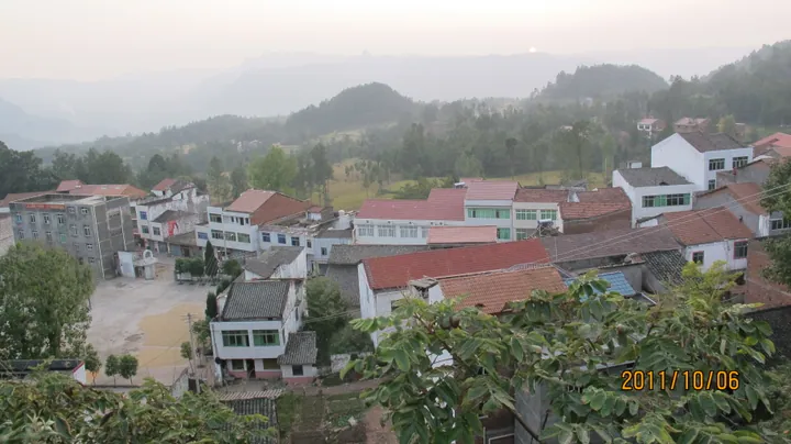
Photo adjustments
Full frame retained; proportionally resized and converted to WebP. No retouching or changes to the photographed subject. Card displays may crop the view.
- Administrative area
- County-level city · 县级市
- Part of
- Dazhou
- Chinese name
- 万源市
- Local areas
- County-level city guide
Area & population
- Area in the source
- 4,065.00 km²
- Population · 2020 census
- 406,685
Source: cited geographic source, as of the dates shown.
Eight tiers and a river valley
Mount Batai (八台山) takes its name from eight descending tiers in its landform. Forest and mountain rhododendrons cover parts of the area, while Qipan Mountain (棋盘山) has isolated limestone hills resembling pieces on a chessboard. The Longtan River (龙潭河) winds between unusual peaks, with willows and mottled bamboo along its banks.
The defence of Wanyuan
The Wanyuan Defence Battle History Exhibition Hall (万源保卫战战史陈列馆) is dedicated to the campaign. Its collections include documents, weapons, ammunition and slogans carved in stone that survive from the Red Army period. Sculptures of commanders stand in the museum square. Elsewhere in the municipality, battlefield sites and further stone inscriptions preserve traces of that conflict.
Sources for this guide
万源简介 - 万源概况 - 万源市人民政府 · Wanyuan City Government
【美丽乡村·红动乡村】山水常青 红色万源 - 旅游线路 - 万源市人民政府 · Wanyuan City Government
Original English written from the listed sources and checked sentence by sentence against quoted extracts by a separate reviewer. Updated 2026-09-26.
Explore Wanyuan
Core places to explore, with English and Chinese names.
Places to explore around Wanyuan
 Batai Mountain · 八台山
Batai Mountain八台山
Batai Shan is a national natural heritage protection site and national geopark in the eastern part of Batai town, Wanyuan City, Dazhou, in north-eastern Sichuan, named for its terrain, which rises in eight tiers like a staircase, and forming one of four zones within a 120.7-square-kilometre provincial scenic area approved in 2018.
Read the place guide →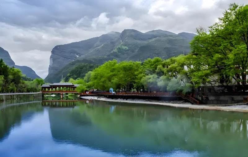 Longtan River Gorge · 龙潭河
Longtan River Gorge龙潭河
Longtan He is a gorge scenic area in Jiuyuan town, Wanyuan City, Dazhou, in north-eastern Sichuan, designated a national geopark, a national AAA tourist area and a provincial-level scenic and historic area, built around a winding river gorge known locally as the 'ten-li gallery'.
Read the place guide →Plan your visit
Getting there
Wanyuan is about 100 km in a straight line from central Dazhou. Search for 万源市 in a map app to find stations and your accommodation.
Where to stay →Build your route
Batai Mountain and Longtan River Gorge are both listed here. The linked place guides have entrance and visit details.
Continue with Dazhou →More in Dazhou
Sources & geographic information
Administrative names and parent areas: Official geographic directory · Reference date 2026-09-06.
Photo: Batai Mountain · Source photographer · License not provided. EXIF orientation normalized; resized without changing aspect ratio; converted to WebP. No subject edits.
Photo: Longtan River Gorge · Source photographer · License not provided. EXIF orientation normalized; resized without changing aspect ratio; converted to WebP. No subject edits.
Map data © OpenStreetMap contributors. Pins mark approximate centres, not entrances or boundaries.