


Get to know Xiangshan District
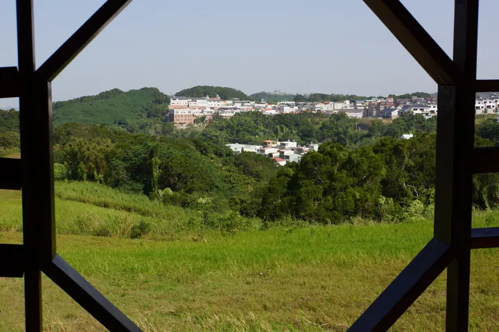
Photo adjustments
Full frame retained; proportionally resized and converted to WebP. No retouching or changes to the photographed subject. Card displays may crop the view.
- Administrative area
- District · 區
- Part of
- Hsinchu City
- Chinese name
- 香山區
- Local areas
- District guide
Area & population
- Area in the source
- 54.85 km²
Source: cited geographic source, as of the dates shown.
Life exposed by the tide
The 250-metre walkway curves according to where and when crabs appear, allowing views of more than ten kinds of crab as well as mudskippers. Low tide reveals animals that shelter in the mud when water covers the flats. Beneath the sediment are shellfish and other burrowing creatures, making the seemingly bare shore a habitat on several levels.
A wetland learning centre
The Xiangshan Wetland Marine Conservation Education Center (香山濕地海洋保育教育中心) displays wetland-animal models on its first floor. The second floor introduces plants and animals through seasonal themes, with large windows overlooking the crab walkway and sea. An upper-floor room hosts ecological exhibitions.
Sources for this guide
美山探索區-賞蟹步道 - 新竹市政府香山濕地生態網 · Hsinchu City Government
關於香山濕地 - 新竹市政府香山濕地生態網 · Hsinchu City Government
Original English written from the listed sources and checked sentence by sentence against quoted extracts by a separate reviewer. Updated 2026-09-27.
Explore Xiangshan District
Core places to explore, with English and Chinese names.
Xiangshan District 香山區
Plan your visit
Getting there
Xiangshan District is about 7 km in a straight line from central Hsinchu City. Search for 香山區 in a map app to find stations and your accommodation.
Where to stay →More in Hsinchu City
Sources & geographic information
Administrative names and parent areas: Official geographic directory · Reference date 2026-09-06.
Map data © OpenStreetMap contributors. Pins mark approximate centres, not entrances or boundaries.