


Get to know Alashankou
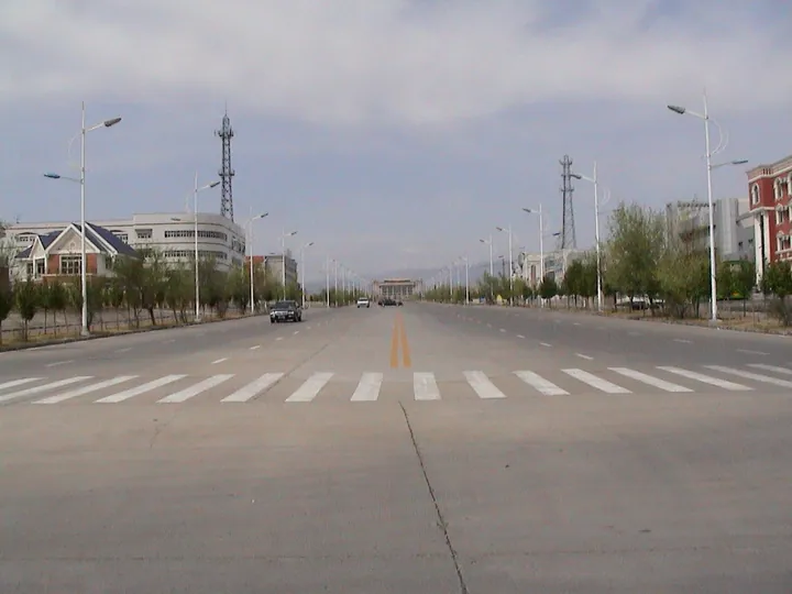
Photo adjustments
Full frame retained; proportionally resized and converted to WebP. No retouching or changes to the photographed subject. Card displays may crop the view.
- Administrative area
- County-level city · 县级市
- Part of
- Bortala Mongol Autonomous Prefecture
- Chinese name
- 阿拉山口市
- Local areas
- County-level city guide
Area & population
- Area in the source
- 1,204.00 km²
- Population · 2020
- 11,097
Source: cited geographic source, as of the dates shown.
A border corridor
The city lies in northeastern Bortala (博尔塔拉), adjoining Kazakhstan (哈萨克斯坦) to the northwest. Ebinur Lake’s wetlands (艾比湖湿地) lie to its southeast, and Bole (博乐市) is about eighty kilometres to the southwest. The border extends for roughly twenty-six kilometres. Across it, Dostyk railway station (多斯特克站) is about twelve kilometres away. This corridor historically carried merchants and travellers along the northern Silk Road (丝绸之路).
Two railway gauges
The State Council approved the port in June 1990 and the city in December 2012. Its rail facilities include both standard-gauge and broad-gauge lines, with separate arrival, shunting and transshipment tracks. The city’s freight traffic includes imported crude oil and metal ores.
Sources for this guide
阿拉山口市基本情况_阿拉山口概况_阿拉山口市人民政府 · Alashankou Municipal People’s Government
Original English written from the listed sources and checked sentence by sentence against quoted extracts by a separate reviewer. Updated 2026-09-27.
Explore Alashankou
Core places to explore, with English and Chinese names.
Alashankou 阿拉山口市
Plan your visit
Getting there
Alashankou is about 50 km in a straight line from central Bortala Mongol Autonomous Prefecture. Search for 阿拉山口市 in a map app to find stations and your accommodation.
Where to stay →More in Bortala Mongol Autonomous Prefecture
Sources & geographic information
Administrative names and parent areas: Official geographic directory · Reference date 2026-09-06.
Map data © OpenStreetMap contributors. Pins mark approximate centres, not entrances or boundaries.