


Get to know Dushanzi District
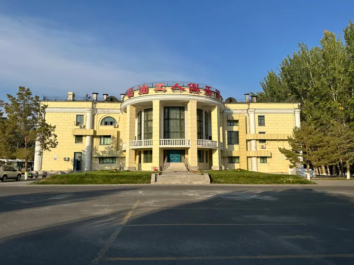
Photo adjustments
Full frame retained; proportionally resized and converted to WebP. No retouching or changes to the photographed subject. Card displays may crop the view.
- Administrative area
- District · 市辖区
- Part of
- Karamay
- Chinese name
- 独山子区
- Local areas
- District guide
Area & population
- Area in the source
- 404.10 km²
- Population · 2020
- 84,395
- Administrative seat
- Xining Road Subdistrict
Source: cited geographic source, as of the dates shown.
Cliffs shaped by water
Dushanzi Grand Canyon (独山子大峡谷) lies about twenty-eight kilometres from the urban area. It extends roughly twenty kilometres from south to north. The canyon floor ranges from one hundred to four hundred metres wide, while the rise to the shoulders reaches two hundred metres. Snowmelt and rain have cut grooves into its steep walls, with grassland forming part of the surrounding view.
The road-building story
Duku Highway Museum (独库公路博物馆) stands on Beijing Road (北京路). Its displays contain more than a thousand historical documents and objects. Artefacts, sculpture, scale models and multimedia recount the highway’s construction and show landscapes along the route. The district also has the Donghu Zoo (东湖动物园), an exhibition hall and a science museum.
Sources for this guide
政府信息公开_克拉玛依市人民政府 · Karamay Municipal Government
旅游资源_独山子区人民政府 · Dushanzi District Government Office
Original English written from the listed sources and checked sentence by sentence against quoted extracts by a separate reviewer. Updated 2026-09-27.
Explore Dushanzi District
Core places to explore, with English and Chinese names.
Places to explore around Dushanzi District
 Dushanzi Grand Canyon ·
 Plan your visit
Getting there
Dushanzi District covers the centre of Karamay. Search for 独山子区 in a map app to find stations and your accommodation.
Where to stay →Build your route
Start with Dushanzi Grand Canyon. The linked place guides have entrance and visit details.
Continue with Karamay →More in Karamay
Sources & geographic information
Administrative names and parent areas: Official geographic directory · Reference date 2026-09-06.
Photo: Dushanzi Grand Canyon · Source photographer · License not provided. EXIF orientation normalized; resized without changing aspect ratio; converted to WebP. No subject edits.
Map data © OpenStreetMap contributors. Pins mark approximate centres, not entrances or boundaries.