


Get to know Yueqing
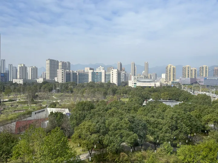
Photo adjustments
Full frame retained; proportionally resized and converted to WebP. No retouching or changes to the photographed subject. Card displays may crop the view.
- Administrative area
- County-level city · 县级市
- Part of
- Wenzhou
- Chinese name
- 乐清市
- Local areas
- County-level city guide
Area & population
- Area in the source
- 1,669.30 km²
Source: cited geographic source, as of the dates shown.
A landscape shaped by volcanic rock
Rhyolitic rocks and the remains of a volcanic caldera underpin Yandang’s terrain. Faults, rock collapse, flowing water and erosion have helped shape its peaks, caves and waterfalls. The Ming traveller Xu Xiake (徐霞客) investigated the source of Dalongqiu, an example of the mountains’ long association with observing and interpreting the natural world.
Temples among the cliffs
Lingfeng (灵峰) is associated with rock silhouettes and Guanyin Cave (观音洞). At Lingyan (灵岩), cliffs rise above Lingyan Temple (灵岩寺), with nearby caves and a smaller waterfall adding detail to the mountain setting. An embassy cultural description dates the temple to 979 in the Northern Song period.
Sources for this guide
南京地调中心协助央视《地理·中国》栏目组考察雁荡山世界地质公园_中国地质调查局 · China Geological Survey
Yandang Mountain -- Captivating Grandeur · Chinese Embassy in Nepal
Original English written from the listed sources and checked sentence by sentence against quoted extracts by a separate reviewer. Updated 2026-09-30.
Explore Yueqing
Core places to explore, with English and Chinese names.
Places to explore around Yueqing
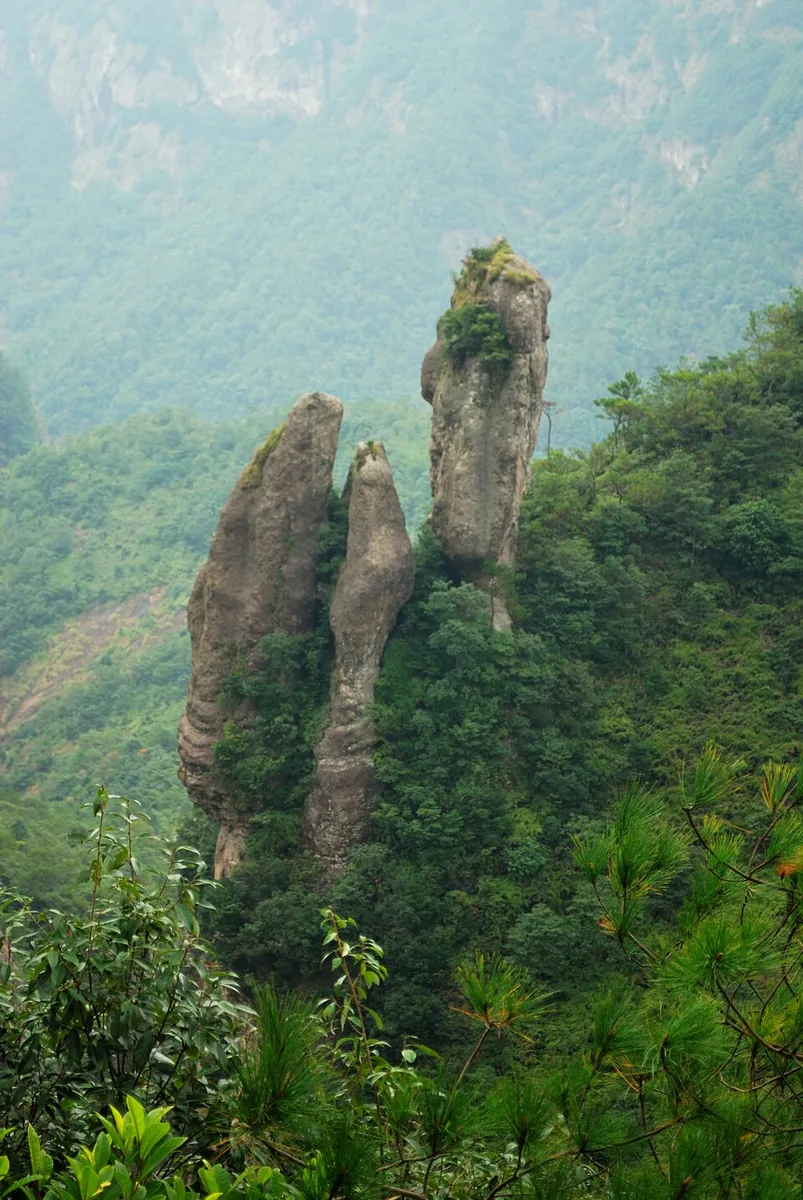 Rock pinnacles and wooded slopes in the Yandang Mountains of Zhejiang, November 2011.
Plan your visit
Getting there
Yueqing is about 30 km in a straight line from central Wenzhou. Search for 乐清市 in a map app to find stations and your accommodation.
Where to stay →Build your route
Start with Yandang Mountains. The linked place guides have entrance and visit details.
Continue with Wenzhou →More in Wenzhou
Sources & geographic information
Administrative names and parent areas: Official geographic directory · Reference date 2026-09-06.
Photo: Yandang Mountains · Glasreifen · CC BY-SA 4.0. Proportionally resized and converted to WebP without cropping, retouching or changing the photographed subject.

Map data © OpenStreetMap contributors. Pins mark approximate centres, not entrances or boundaries.