


Get to know Pingyang County
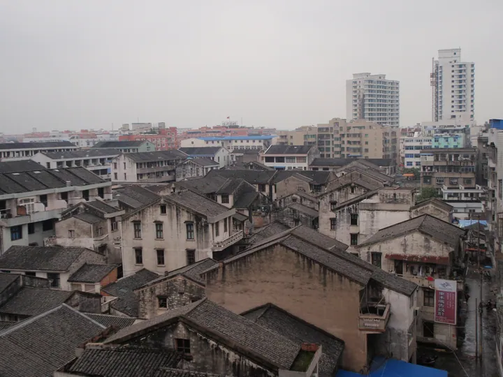
Photo adjustments
Full frame retained; proportionally resized and converted to WebP. No retouching or changes to the photographed subject. Card displays may crop the view.
- Administrative area
- County · 县
- Part of
- Wenzhou
- Chinese name
- 平阳县
- Local areas
- County guide
Area & population
- Area in the source
- 1,042.21 km²
- Population · 2020
- 878,700
Source: cited geographic source, as of the dates shown.
A meeting of currents
The islands occupy waters where the Taiwan Warm Current meets coastal currents. The marine nature reserve protects shellfish and seaweed habitats as well as wild narcissus. The environment ministry’s account identifies tropical and subtropical shellfish and seaweed communities, including unusual scallops and seaweeds.
Island settlement
Houlong Village (后隆村) occupies an island bay, with fishing boats and fish rafts forming part of its waterfront scene. Stone houses remain within the settlement even as buildings have been adapted for visitors. A 2025 county report describes fishermen repairing their nets on the rafts during the fishing moratorium.
Sources for this guide
南麂列岛海洋国家级自然保护区_中华人民共和国生态环境部 · Ministry of Ecology and Environment
开启秘境之旅—— 东海之滨的“贝藻王国” · Pingyang Government / County Media Center
Original English written from the listed sources and checked sentence by sentence against quoted extracts by a separate reviewer. Updated 2026-09-30.
Explore Pingyang County
Core places to explore, with English and Chinese names.
Places to explore around Pingyang County
 Nanji Islands ·
 Plan your visit
Getting there
Pingyang County is about 40 km in a straight line from central Wenzhou. Search for 平阳县 in a map app to find stations and your accommodation.
Where to stay →Build your route
Start with Nanji Islands. The linked place guides have entrance and visit details.
Continue with Wenzhou →More in Wenzhou
Sources & geographic information
Administrative names and parent areas: Official geographic directory · Reference date 2026-09-06.
Photo: Nanji Islands · ZeroSimple · CC BY-SA 4.0. EXIF orientation normalized; resized without changing aspect ratio; converted to WebP. No subject edits.

Map data © OpenStreetMap contributors. Pins mark approximate centres, not entrances or boundaries.