


Get to know Lujiang County
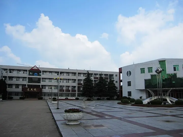
Photo adjustments
Full frame retained; proportionally resized and converted to WebP. No retouching or changes to the photographed subject. Card displays may crop the view.
- Administrative area
- County · 县
- Part of
- Hefei
- Chinese name
- 庐江县
- Local areas
- County guide
Area & population
- Area in the source
- 2,343.70 km²
- Population · 2020
- 888,238
- Administrative seat
- Lucheng
Source: cited geographic source, as of the dates shown.
Setting and landscape
Streams in the south of the county run to the Yangtze, those in the north to Lake Chao. At the southern tip of Tangchi town (汤池镇), Sanchong village (三冲村) is ringed by mountains. Its sights include the five falls of the Zhaiwa Five Dragons (寨洼五龙瀑布), described as Hefei's largest group of waterfalls, and a ridge of wild azaleas called Hongling (红岭). The village also takes in Qifengjian (起风尖), the source of the Macaohe stream (马槽河) on the south side of the lake.
History
In 466 the Liu Song set up Qian County (灊县) on the site of today's county seat, Lucheng (庐城镇). Late in the Tianjian era of the Liang dynasty it was renamed Lujiang, the first use of the county's present name. Lujiang belonged to the prefecture-level city of Chaohu until that city was abolished on 22 August 2011, when it passed to Hefei.
What to see
Yefu Mountain (冶父山) is a national forest park with 96 per cent forest cover and shaded trails. At its eastern foot stands Shiji Temple (实际寺), founded in 898 under the Tang by the Chan master Fuhu (伏虎禅师) as Yefu Temple; Emperor Taizu of the Song gave it its present name. The temple was destroyed and rebuilt many times, and today's buildings date from after the Cultural Revolution.
Niuwangzhai (牛王寨), at 596 metres, is promoted as the point in Hefei closest to the sky, with large bamboo forests on the way up. Huangpi Lake (黄陂湖) is a wetland where lotus covers the water in summer, and Tangchi has hot springs. In Wanshan (万山镇), the Changchong River (长冲河) winds through Changchong village (长冲村) with an 8-kilometre path along its shallow, pebbly bed.
Food and local products
Huangpi Lake hairy crab (黄陂湖大闸蟹) is a national geographical-indication product. Around Tangchi, tea, chestnuts and seasonal fruit and vegetables are sold at scenic-area markets and on guesthouse tables.
Getting oriented
The Hefei–Jiujiang railway, the Beijing–Hong Kong high-speed line and the Lujiang–Tongling railway cross the county, and the Jianghuai Canal (江淮运河) links the Yangtze in the south with Lake Chao in the north.
Highlights
- Yefu Mountain 冶父山: National forest park with 96 per cent forest cover and the Tang-founded Shiji Temple.
- Shiji Temple 实际寺: Founded in 898 as Yefu Temple and renamed by the first Song emperor.
- Zhaiwa Five Dragons waterfalls 寨洼五龙瀑布: Five falls in Sanchong village, Tangchi, described as Hefei's largest group of waterfalls.
- Huangpi Lake hairy crab 黄陂湖大闸蟹: National geographical-indication product.
Sources for this guide
庐江县 - 维基百科,自由的百科全书 · Wikipedia (Chinese) · CC BY-SA 4.0
安徽省(合肥市)庐江县 庐江夏季康养旅居 · Ministry of Agriculture and Rural Affairs of China
实际寺 - 维基百科,自由的百科全书 · Wikipedia (Chinese) · CC BY-SA 4.0
安徽这座小城如何把夏日“凉”景做成“热”产业? · Anhui Provincial Commission Office for Public Sector Reform (republishing Anhuinews)
Original English written from the listed sources and checked sentence by sentence against quoted extracts by a separate reviewer. Updated 2026-09-23.
Explore Lujiang County
Core places to explore, with English and Chinese names.
Lujiang County 庐江县
Plan your visit
Getting there
Lujiang County is about 65 km in a straight line from central Hefei. Search for 庐江县 in a map app to find stations and your accommodation.
Where to stay →More in Hefei
Sources & geographic information
Administrative names and parent areas: Official geographic directory · Reference date 2026-09-06.
Some facts checked against 庐江县 — Wikipedia contributors, CC BY-SA 4.0.
Some facts checked against 实际寺 — Wikipedia contributors, CC BY-SA 4.0.
Map data © OpenStreetMap contributors. Pins mark approximate centres, not entrances or boundaries.