


Get to know Nanxi District
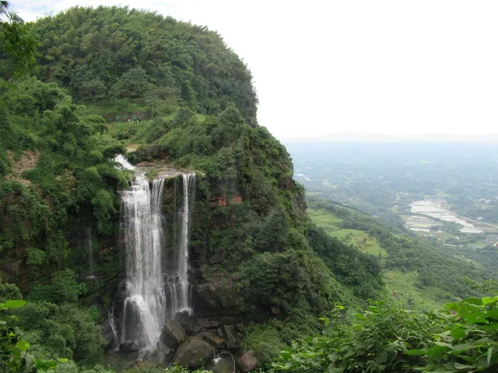
Photo adjustments
Full frame retained; proportionally resized and converted to WebP. No retouching or changes to the photographed subject. Card displays may crop the view.
- Administrative area
- District · 市辖区
- Part of
- Yibin
- Chinese name
- 南溪区
- Local areas
- District guide
Area & population
- Area in the source
- 704.00 km²
- Population · 2020
- 332,796
Source: cited geographic source, as of the dates shown.
What to see
The riverside scenic area includes Piaohai Tower (漂海楼), Wangjiang Pavilion stop (望江亭驿站), a sand-martin protection area (沙燕保护区) and the Zhu De Mint (朱德造币厂). These are among the natural and cultural features listed by the district government along the bend.
A historic residence
Zhu De’s former residence (朱德旧居) stands on Guancang Street (官仓街). It is a brick-and-timber courtyard building in the southern Sichuan style of the late Qing and early Republican periods, with a street-facing shop and workshops behind. Zhu De married Chen Yuzhen (陈玉珍) in June 1917 and lived here for six years.
Sources for this guide
景点推荐-南溪区人民政府 · Nanxi District Government
南溪朱德旧居-南溪区人民政府 · Nanxi District Culture and Tourism Bureau
Original English written from the listed sources and checked sentence by sentence against quoted extracts by a separate reviewer. Updated 2026-09-27.
Explore Nanxi District
Core places to explore, with English and Chinese names.
Nanxi District 南溪区
Plan your visit
Getting there
Nanxi District is about 35 km in a straight line from central Yibin. Search for 南溪区 in a map app to find stations and your accommodation.
Where to stay →More in Yibin
Sources & geographic information
Administrative names and parent areas: Official geographic directory · Reference date 2026-09-06.
Map data © OpenStreetMap contributors. Pins mark approximate centres, not entrances or boundaries.