


Get to know Saybagh District
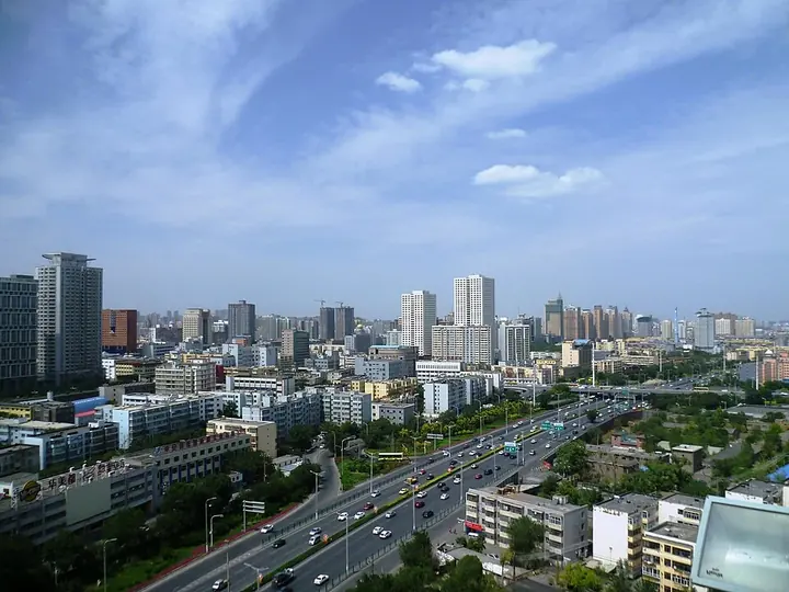
Photo adjustments
Full frame retained; proportionally resized and converted to WebP. No retouching or changes to the photographed subject. Card displays may crop the view.
- Administrative area
- District · 市辖区
- Part of
- Ürümqi
- Chinese name
- 沙依巴克区
- Local areas
- District guide
Area & population
- Population · 2020
- 799,539
- Administrative seat
- Yangzijiang Road Subdistrict
Source: cited geographic source, as of the dates shown.
Gardens along Youhao Road
People’s Park (人民公园), on Youhao South Road (友好南路), combines cultural recreation with historical features. It covers about thirty hectares, including twenty-four hectares of green space and 1.8 hectares of lake surface. More than eighty kinds of trees and shrubs grow there. Children’s Park (儿童公园), on Youhao North Road (友好北路), combines science education, amusements and garden viewing. Its 2023 renovation increased green coverage to seventy percent and plant varieties to about eighty.
A planted mountain above the city
Yamalik Mountain Forest Park (雅玛里克山森林公园) stands on Baoshan Road (宝山路). Its main summit, Qingnian Peak (青年峰), rises to 1,391 metres. Xinjiang Daily (新疆日报) recorded cumulative planting of more than 5.5 million trees by April 2024, covering over 40,000 mu, or roughly 2,667 hectares.
Sources for this guide
“公园20分钟效应”火了!快来乌鲁木齐这些公园实地体验 · Xinjiang Daily, republished by Altay News
Original English written from the listed sources and checked sentence by sentence against quoted extracts by a separate reviewer. Updated 2026-09-27.
Explore Saybagh District
Core places to explore, with English and Chinese names.
Places to explore around Saybagh District
 Xinjiang Regional Museum (Qu Bowuguan) ·
 Plan your visit
Getting there
Saybagh District is about 3 km in a straight line from central Ürümqi. Search for 沙依巴克区 in a map app to find stations and your accommodation.
Where to stay →Build your route
Start with Xinjiang Regional Museum. The linked place guides have entrance and visit details.
Continue with Ürümqi →More in Ürümqi
Sources & geographic information
Administrative names and parent areas: Official geographic directory · Reference date 2026-09-06.
Photo: Xinjiang Regional Museum · HaziiDozen · CC BY-SA 4.0. Wikimedia thumbnail; fitted to the ranking-card frame.

Map data © OpenStreetMap contributors. Pins mark approximate centres, not entrances or boundaries.