


Get to know Changzhou District
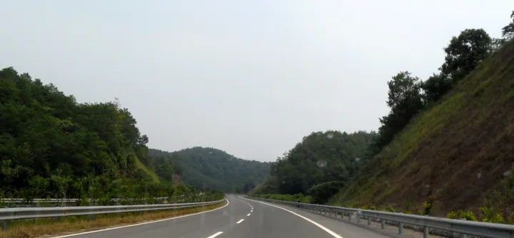
Photo adjustments
Full frame retained; proportionally resized and converted to WebP. No retouching or changes to the photographed subject. Card displays may crop the view.
- Administrative area
- District · 市辖区
- Part of
- Wuzhou
- Chinese name
- 长洲区
- Local areas
- District guide
Area & population
- Area in the source
- 337.76 km²
- Administrative seat
- Datang Subdistrict
Source: cited geographic source, as of the dates shown.
Setting and landscape
Changzhou and Sizhou (泗洲岛) islands are ringed by water and covered in woods and bamboo. The dam of the Changzhou hydro project (长洲水利枢纽) spans Changzhou and Sihuazhou (泗化洲) islands and the inner, middle and outer channels of the river, and the Wangcun hydro project (旺村水利枢纽) stands on the Gui about 14 kilometres downstream of Daoshui town (倒水镇). The Tropic of Cancer runs through the district.
History
Eastern Han to Southern dynasties tombs at Dapo village (达坡村) in Daoshui yielded a celadon figure of a horseman, a national first-grade relic that the district government calls the prize piece of the Wuzhou Museum. Local scholars include Li Bailing (李百龄), a jinshi graduate who backed Lin Zexu (林则徐) against opium, and Guan Guanghuai (关广槐), imperial commissioner for the China–Vietnam boundary. In 1925 the farmers of Pinglang village (平浪村) used their peasant association to campaign against dock levies, among the first rural groups in Guangxi to join the revolution; the village is now a 3A red-tourism site with an exhibition hall at the former association site.
What to see
Sizhou Island covers about 1,200 mu, and the Changzhou dam crosses its downstream tip. Its Xiali songs (下俚歌), four-line folk verses in which every line ends on a drawn-out "xia-li" followed by a gong stroke, have been autonomous-region intangible heritage since 2014. At the Lantern Festival the Qingshan Temple (青山庙) fair brings out five paper-and-silk dragons, one from each quarter of the island, a custom the district government dates back more than 400 years. The island also keeps the culture of the Tanka (疍家) boat people, whose foods include zongzi and glutinous rice rolls.
Rose Lake Park (玫瑰湖公园), laid out in 1998 on about 35 hectares, became a national 4A scenic area in 2020. Fuwan village (富万) in Daoshui has a thousand-year-old banyan and a legend that Shen Wansan (沈万三), a fabled Jiangnan tycoon, lived there in exile, and stages Daoshui tea-picking opera (采茶剧), an autonomous-region intangible heritage item. Liubao Tea City (六堡茶城), a 3A site since 2023, holds an immersive exhibition on Liubao tea.
Local products
District products include Changzhou candied dates (长洲蜜枣), Changdi magnolia flowers (长地玉兰花) and Xiangshui mulberry mistletoe (响水桑寄生), a medicinal plant with a history of more than 600 years that was once sent as tribute.
Highlights
- Sizhou Island 泗洲岛: River island known for Xiali songs, the Lantern Festival Qingshan Temple fair and Tanka culture.
- Rose Lake Park 玫瑰湖公园: Lakeside park laid out in 1998, a national 4A scenic area since 2020.
- Pinglang village 平浪村: 3A red-tourism village whose farmers organised in 1925.
- Xiali songs 下俚歌: Sizhou folk songs ending each line on "xia-li" and a gong, autonomous-region intangible heritage since 2014.
- Xiangshui mulberry mistletoe 响水桑寄生: Medicinal plant with over 600 years of history, once sent as tribute.
Sources for this guide
梧州市长洲区简介 - 广西梧州长洲区人民政府门户网站 · Changzhou District People's Government, Wuzhou
长洲概况:自然地理 - 广西梧州长洲区人民政府门户网站 · Changzhou District People's Government, Wuzhou
长洲概况:旅游景区 - 广西梧州长洲区人民政府门户网站 · Changzhou District People's Government, Wuzhou
长洲概况:民俗文化 - 广西梧州长洲区人民政府门户网站 · Changzhou District People's Government, Wuzhou
长洲概况:地方特产 - 广西梧州长洲区人民政府门户网站 · Changzhou District People's Government, Wuzhou
Original English written from the listed sources and checked sentence by sentence against quoted extracts by a separate reviewer. Updated 2026-09-24.
Explore Changzhou District
Core places to explore, with English and Chinese names.
Changzhou District 长洲区
Plan your visit
Getting there
Changzhou District covers the centre of Wuzhou. Search for 长洲区 in a map app to find stations and your accommodation.
Where to stay →More in Wuzhou
Sources & geographic information
Administrative names and parent areas: Official geographic directory · Reference date 2026-09-06.
Map data © OpenStreetMap contributors. Pins mark approximate centres, not entrances or boundaries.