


Get to know Mengshan County
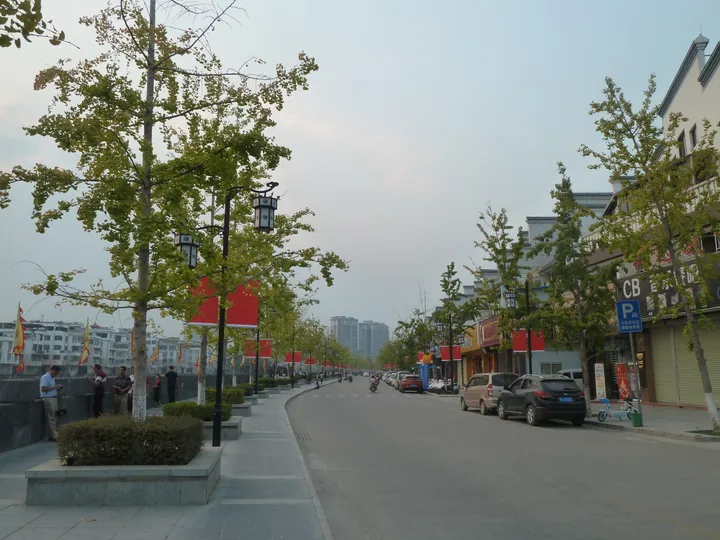
Photo adjustments
Full frame retained; proportionally resized and converted to WebP. No retouching or changes to the photographed subject. Card displays may crop the view.
- Administrative area
- County · 县
- Part of
- Wuzhou
- Chinese name
- 蒙山县
- Local areas
- County guide
Area & population
- Area in the source
- 1,279.34 km²
- Administrative seat
- Mengshan Town
Source: cited geographic source, as of the dates shown.
Setting and landscape
The county is ringed by mountains and runs about 70 kilometres north to south but only 43 kilometres east to west, with Zhaoping (昭平) to the east, Jinxiu (金秀) to the west and Lipu (荔浦) to the north. The Mei River (湄江) enters from Jinxiu in the northwest and flows for 86.86 kilometres past the county town before leaving through Tengxian (藤县) for the Xun River (浔江). The highest point is Luanshan (鸾山, 1,104 metres), on a spur of the Dayao range; the Jiguan range, named for its cockscomb shape, forms the boundary with Zhaoping. Forests cover 82.87 per cent of the county.
History
From 634 the area was Mengzhou (蒙州), with its seat at today's Huangcun old street (黄村老街), and the name Mengshan County dates from 976. In 1477 it became Yong'an prefecture (永安州), renamed Yong'an County in 1912 and Mengshan County in 1914. The Taiping army took Yong'an in September 1851, and in December the Taiping leaders named the Eastern, Southern, Western, Northern and Wing Kings here and set up the basic institutions of their state, known as the "Yong'an system"; in April 1852 they broke out towards Guilin.
What to see
Yong'an Wangcheng (永安王城, "Yong'an royal city") scenic area is built around this Taiping history; its Ming and Qing city walls, Martial Temple (武庙) and a dry well are national key protected sites, and it includes the Taiping Yong'an History Relics Exhibition Hall. The county holds more than 1,500 Taiping-era objects, among them shields, spears and cannon. West Battery Park (西炮台公园) is built on the fort that the Western King, Xiao Chaogui (萧朝贵), used to guard the city, and its hilltop overlooks the county town.
Longevity Bridge (长寿桥), a covered bridge with green glazed tiles in the county town, was first built in the Ming. Rebuilt on a new site in 1801, it was renamed after a turtle found beneath it after a flood. A couplet by the novelist Liang Yusheng (梁羽生) hangs at its end.
People and products
Mengshan is the home town of Liang Yusheng, founder of the new-school wuxia novel, and of Su Yuanchun (苏元春), a general in the war against France. Mulberry growing and silkworm raising have been a mainstay for over 40 years, and Yong'an yazhan rice (永安牙粘米) was once sold as far as Hong Kong and Southeast Asia. The county lies where Cantonese meets Southwestern Mandarin, and Zhuang, two forms of Yao, Cantonese, Hakka and Mandarin are spoken.
Highlights
- Yong'an Wangcheng 永安王城: Scenic area built around the Taiping enfeoffment, with protected Ming and Qing walls, the Martial Temple and a relics hall.
- West Battery Park 西炮台公园: Hilltop park on the fort Xiao Chaogui used to guard Yong'an.
- Longevity Bridge 长寿桥: Covered bridge rebuilt in 1801 and named after a turtle found beneath it; couplet by Liang Yusheng.
- Mei River 湄江: Main river, flowing 86.86 km through the county past the county town.
- Yong'an yazhan rice 永安牙粘米: Local rice once sold to Hong Kong and Southeast Asia.
Sources for this guide
自然地理 - 蒙山县人民政府门户网站 · Mengshan County People's Government
蒙山简介 - 蒙山县人民政府门户网站 · Mengshan County People's Government
历史沿革 - 蒙山县人民政府门户网站 · Mengshan County People's Government
太平天國歷史年表 - 维基百科 · Wikipedia (Chinese) · CC BY-SA 4.0
太平天國封王建制遺址公園 - 大公報 · Ta Kung Pao (Ta Kung Wen Wei Media Group)
长寿桥 - 蒙山县人民政府门户网站 · Mengshan County People's Government
人文风俗 - 蒙山县人民政府门户网站 · Mengshan County People's Government
Original English written from the listed sources and checked sentence by sentence against quoted extracts by a separate reviewer. Updated 2026-09-24.
Explore Mengshan County
Core places to explore, with English and Chinese names.
Places to explore around Mengshan County
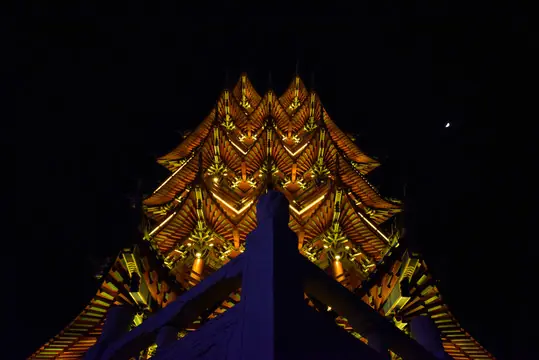 Yong'an Royal City ·
 Plan your visit
Getting there
Mengshan County is about 165 km in a straight line from central Wuzhou. Search for 蒙山县 in a map app to find stations and your accommodation.
Where to stay →Build your route
Start with Yong'an Royal City. The linked place guides have entrance and visit details.
Continue with Wuzhou →More in Wuzhou
Sources & geographic information
Administrative names and parent areas: Official geographic directory · Reference date 2026-09-06.
Some facts checked against 太平天國歷史年表 — Wikipedia contributors, CC BY-SA 4.0.
Photo: Yong'an Royal City · Source photographer · License not provided. EXIF orientation normalized; resized without changing aspect ratio; converted to WebP. No subject edits.
Map data © OpenStreetMap contributors. Pins mark approximate centres, not entrances or boundaries.