


Get to know Guye District
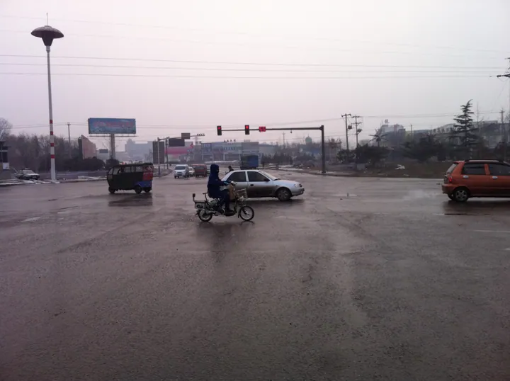
Photo adjustments
Full frame retained; proportionally resized and converted to WebP. No retouching or changes to the photographed subject. Card displays may crop the view.
- Administrative area
- District · 市辖区
- Part of
- Tangshan
- Chinese name
- 古冶区
- Local areas
- District guide
Area & population
- Area in the source
- 249.00 km²
- Population · 2010
- 358,461
Source: cited geographic source, as of the dates shown.
Setting and landscape
Outliers of the Yanshan (燕山) range run for about 30 kilometres across the north of the district, taking in Baiyun Mountain (白云山), Weifeng Mountain (巍峰山) and Yu Mountain (域山). The district's rivers add up to 60 kilometres, and close to 10,000 mu (about 670 hectares) of old mining land has been restored. Coal, limestone and dolomite are the main minerals underground.
History
The district government traces smelting here to the Shang dynasty, when the area belonged to the state of Guzhu (孤竹国); stone moulds for casting bronze axes have been excavated near Beisi (北寺). In the Han dynasty it was an iron centre said to produce a tenth of the country's output, known as Qianjinye (千金冶), and the old Luanzhou gazetteers place that foundry within today's district. In the Ming dynasty Guye was a village market town under Luanzhou.
The district profile says the Qing government began planning the Linxi (林西) mine in 1887 and the Zhaogezhuang (赵各庄) mine in 1906, and that the Republican government built the Tangjiazhuang (唐家庄) mine in 1924; the government's local-history series gives 1879, 1908 and 1918. Guye railway station opened in 1889 on the line linking Tianjin to the west with Shanhaiguan (山海关) to the east. Among the district's claimed national firsts are China's first electric winch, at Zhaogezhuang's No. 4 shaft, and the Linxi power plant, described as modern China's earliest thermal power station. The district government also presents Guye as a cradle of China's early labour movement through the joint strike of the five Kailuan mines. By the 1920s the town's streets were lined with shops, 18 of them sizeable, known as the "Guye 18 shops", and handicraft workshops, mostly for coarse porcelain, had been built in the south of Guye. The district was formerly named Dongkuang District (东矿区, "eastern mining district").
What to see
The Duobao Pagoda (多宝佛塔) is protected at provincial level, and the Western-style buildings known as the Zhaogezhuang "Yangfangzi" (洋房子, "foreign houses") are protected by the city. Guye Mosque (古冶清真寺) was founded in 1876.
Food and local products
Siyuanxiang (四远香) pastries, a long-established Tangshan brand, are ranked by the district government alongside those of Beijing's Daoxiangcun (稻香村). Wanlixiang (万里香) and Shuiyu (水峪) grapes are among the other local brands it names.
Getting oriented
The Beijing–Shanhaiguan railway (京山铁路) and National Road 205 cross the district from west to east, and the Qiancao road (迁曹公路) runs through it from north to south. The district government sits in Jinghua Subdistrict (京华街道).
Highlights
- Duobao Pagoda 多宝佛塔: A provincial-level protected cultural relic in the district.
- Zhaogezhuang Yangfangzi 赵各庄洋房子: Western-style mining-era buildings protected by Tangshan city.
- Guye Mosque 古冶清真寺: Founded in 1876.
- Siyuanxiang pastries 四远香糕点: Long-established Tangshan pastry brand compared with Beijing's Daoxiangcun.
Sources for this guide
河北省唐山市古冶区简介 · Guye District People's Government, Tangshan
古冶区情简介 · Guye District People's Government, Tangshan
【百姓话古冶】古冶区(东矿区)的形成 · Guye District People's Government, Tangshan
古冶区 · Wikipedia (Chinese) · CC BY-SA 4.0
Original English written from the listed sources and checked sentence by sentence against quoted extracts by a separate reviewer. Updated 2026-09-24.
Explore Guye District
Core places to explore, with English and Chinese names.
Guye District 古冶区
Plan your visit
Getting there
Guye District is about 25 km in a straight line from central Tangshan. Search for 古冶区 in a map app to find stations and your accommodation.
Where to stay →More in Tangshan
Sources & geographic information
Administrative names and parent areas: Official geographic directory · Reference date 2026-09-06.
Some facts checked against 古冶区 — Wikipedia contributors, CC BY-SA 4.0.
Map data © OpenStreetMap contributors. Pins mark approximate centres, not entrances or boundaries.