


Get to know Boli County
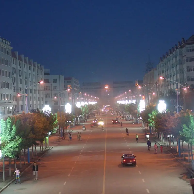
Photo adjustments
EXIF orientation normalized; resized without changing aspect ratio; converted to WebP. No subject edits.
- Administrative area
- County · 县
- Part of
- Qitaihe
- Chinese name
- 勃利县
- Local areas
- County guide
Area & population
- Area in the source
- 3,962.00 km²
- Population · 2004
- 370,000
- Administrative seat
- Xinqi Subdistrict (新起街道)
Source: cited geographic source, as of the dates shown.
History
Chinese Wikipedia traces the name to a Manchu word for pea, the same word behind Boli (伯力), the old Chinese name of Khabarovsk. After the Second Opium War that city passed to Russia, and the name was given to a new county in the Mudan River basin to carry on its role in governing the frontier. The Qitaihe city government dates the county office to 15 September 1918, under Yilan circuit (依兰道). The first seat was at Dasizhan (大四站); it moved in 1919. In 1939 the southern part of the county was split off to form Linkou County (林口县).
In 1958 large-scale mining began in the Qitaihe coalfield, then called the Boli coalfield, and the county raised the money for what the city government calls China's first people-run railway, opened that year. Qitaihe town was separated from Boli as a special zone in 1965, and in 1983 Boli itself was placed under the newly promoted city of Qitaihe.
What to see
Five sites in the county are on the Heilongjiang provincial heritage list. Three old walled-town sites, at Hongtu Xishan (宏图西山二号城址), Tongtian (通天城址) and Tuofeng South (驼峰南城址), and the Jiguanlazi camp of the Northeast Anti-Japanese United Army (鸡冠砬子抗联密营) were listed in the sixth batch in 2014. The remains of a Japanese army warehouse at Xishan (侵华日军西山仓库遗址) were listed in the fifth batch in 2005.
Food and local products
Local products named by Chinese Wikipedia include wild mountain vegetables, small red chillies, Korean pine nuts, ginseng and deer products. The county has two ethnic townships, Xingshu Korean Township (杏树朝鲜族乡) and Jixing Korean and Manchu Township (吉兴朝鲜族满族乡).
Highlights
- Tongtian walled-town site 通天城址: Provincial protected site, sixth batch (2014).
- Jiguanlazi Anti-Japanese United Army camp 鸡冠砬子抗联密营: Secret camp of the anti-Japanese resistance, listed by the province in 2014.
- Xishan Japanese army warehouse site 侵华日军西山仓库遗址: Provincial protected site, fifth batch (2005).
Sources for this guide
七台河市人民政府—历史沿革 · Qitaihe Municipal People's Government
黑龙江省文物保护单位 - 维基百科,自由的百科全书 · Wikipedia (Chinese) · CC BY-SA 4.0
勃利县 - 维基百科,自由的百科全书 · Wikipedia (Chinese) · CC BY-SA 4.0
七台河市人民政府—行政区划 · Qitaihe Municipal People's Government
Original English written from the listed sources and checked sentence by sentence against quoted extracts by a separate reviewer. Updated 2026-09-24.
Explore Boli County
Core places to explore, with English and Chinese names.
Boli County 勃利县
Plan your visit
Getting there
Boli County is about 15 km in a straight line from central Qitaihe. Search for 勃利县 in a map app to find stations and your accommodation.
Where to stay →More in Qitaihe
Sources & geographic information
Administrative names and parent areas: Official geographic directory · Reference date 2026-09-06.
Some facts checked against 黑龙江省文物保护单位 — Wikipedia contributors, CC BY-SA 4.0.
Some facts checked against 勃利县 — Wikipedia contributors, CC BY-SA 4.0.
Map data © OpenStreetMap contributors. Pins mark approximate centres, not entrances or boundaries.