


Get to know Maojian District
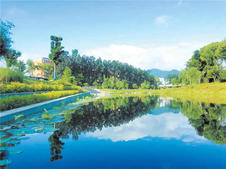
Photo adjustments
EXIF orientation normalized; resized without changing aspect ratio; converted to WebP. No subject edits.
- Administrative area
- District · 市辖区
- Part of
- Shiyan
- Chinese name
- 茅箭区
- Local areas
- District guide
Area & population
- Area in the source
- 578.00 km²
- Population · 2020
- 601,548
- Administrative seat
- Wudang Road Subdistrict
Source: cited geographic source, as of the dates shown.
Setting and landscape
The district belongs to the eastern outliers of the Qinling and Daba ranges. The ground rises to the south and falls to the north, with river-valley flats in the middle, and the relief is steep and deeply cut: the lowest point is 187 metres, the highest 1,723 metres at Putuo Peak (普陀峰) in Saiwudang (赛武当). The climate is north-subtropical monsoon, with long winters, short summers and long spells of autumn rain; Saiwudang has the most rainy days.
What to see
Within the district lie Saiwudang National Nature Reserve (赛武当国家级自然保护区), which takes in Putuo Peak, and Sihe National Wetland Park (泗河国家湿地公园). The Maojian government gives the district's forest cover as 84 per cent. In town, Maojian holds three universities and four top-grade hospitals, among them Taihe Hospital (太和医院), and it hosted Shiyan's first marathon in 2024.
Getting oriented
Maojian borders Zhangwan District (张湾区) to the west, roughly along the line of Sifang Hill (四方山), Bijia Hill (笔架山) and Niutou Hill (牛头山), Danjiangkou (丹江口) to the east and Fang County (房县) to the south. It is Shiyan's transport hub: Shiyan Wudangshan Airport, Shiyan railway station and the city's main long-distance bus station are all in the district. The Xiangyang-Chongqing railway (襄渝铁路) and the Wuhan-Xi'an high-speed railway cross it, as do the Fuzhou-Yinchuan expressway and National Highway 316.
Highlights
- Saiwudang National Nature Reserve 赛武当国家级自然保护区: National nature reserve; its Putuo Peak reaches 1,723 m, the district's highest point.
- Sihe National Wetland Park 泗河国家湿地公园: National wetland park within the district.
- Shiyan Wudangshan Airport 十堰武当山机场: Shiyan's airport lies within Maojian, as do the railway station and main coach station.
Explore Maojian District
Core places to explore, with English and Chinese names.
Maojian District 茅箭区
Plan your visit
Getting there
Maojian District is about 4 km in a straight line from central Shiyan. Search for 茅箭区 in a map app to find stations and your accommodation.
Where to stay →More in Shiyan
Sources & geographic information
Administrative names and parent areas: Official geographic directory · Reference date 2026-09-06.
Map data © OpenStreetMap contributors. Pins mark approximate centres, not entrances or boundaries.