


Get to know Yunxi County
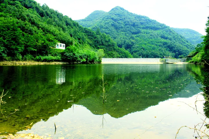
Photo adjustments
Full frame retained; proportionally resized and converted to WebP. No retouching or changes to the photographed subject. Card displays may crop the view.
- Administrative area
- County · 县
- Part of
- Shiyan
- Chinese name
- 郧西县
- Local areas
- County guide
Area & population
- Area in the source
- 3,509.00 km²
- Population · 2020
- 371,012
Source: cited geographic source, as of the dates shown.
Setting and landscape
The land rises toward the northwest and falls toward the southeast. The mountains are outliers of the eastern Qinling, and the highest point, Qiumugounao (楸木沟垴) on the Hubei Daliang (湖北大梁) ridge, reaches 1,853 metres.
The Han River runs 91.8 km along the county's edge; above Laoguanmiao (老关庙) it is the boundary between Hubei and Shaanxi. Three rivers cross the county from north to south and flow into the Han: the Jinqian (金钱河), the Tianhe (天河) and the Xianhe (仙河). The Jinqian flows through steep U-shaped valleys walled by rock. The Tianhe passes the county town before entering the Han at Tianhekou (天河口). A Yunyang gazetteer of the Ming Jiajing reign (1522-1566) explained its name, "Heavenly River", by saying the water seemed to come down from the sky, and the county links the river to the legend of the Cowherd and the Weaver Girl.
History
Yunxi County was created in the winter of 1476, in the Ming dynasty, from land split off the area of today's Yunyang and from the neighbouring Shangjin County (上津县), with its office at Nanmenbao, today's county town. Shangjin was merged into Yunxi in 1659 under the Qing. The county came under Shiyan when Yunyang prefecture and Shiyan city were combined in 1994.
What to see
Hubei Pass (郧西湖北关), a Qing-dynasty pass in Hubeikou Hui Ethnic Township (湖北口回族乡), was listed as a Hubei provincial heritage site in 2002; its protected zone runs west to the provincial border. The Tieshan Temple Pagoda (铁山寺宝塔), a Ming-dynasty pagoda in Dianzi (店子镇), received the same provincial listing in 1992.
Food and local products
Banqiao dried tofu (板桥豆干) comes from Yangwei (羊尾镇). The county government describes soybeans soaked for six hours and stone-ground nine times, then pressed and braised, with more than twenty spices among the ingredients; the small, firm pieces are sold as a spicy snack.
Highlights
- Tianhe River 天河: Crosses the county past the county town to the Han; a Jiajing-era gazetteer explained its name by water that seems to fall from the sky.
- Hubei Pass 郧西湖北关: Qing-dynasty pass in Hubeikou Hui Ethnic Township; provincial heritage site since 2002.
- Tieshan Temple Pagoda 铁山寺宝塔: Ming-dynasty pagoda in Dianzi; provincial heritage site since 1992.
- Banqiao dried tofu 板桥豆干: Spicy braised tofu from Yangwei, made with stone-ground soybeans and more than twenty spices.
Sources for this guide
郧西县地理资源简介 · Yunxi County People's Government
郧西县历史沿革 · Yunxi County People's Government
郧西板桥豆干 · Yunxi County People's Government
郧西湖北关 · Yunxi County People's Government
铁山寺宝塔 · Yunxi County People's Government
郧西名优特产 · Yunxi County People's Government
Original English written from the listed sources and checked sentence by sentence against quoted extracts by a separate reviewer. Updated 2026-09-24.
Explore Yunxi County
Core places to explore, with English and Chinese names.
Yunxi County 郧西县
Plan your visit
Getting there
Yunxi County is about 55 km in a straight line from central Shiyan. Search for 郧西县 in a map app to find stations and your accommodation.
Where to stay →More in Shiyan
Sources & geographic information
Administrative names and parent areas: Official geographic directory · Reference date 2026-09-06.
Map data © OpenStreetMap contributors. Pins mark approximate centres, not entrances or boundaries.