


Get to know Erenhot
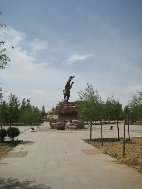
Photo adjustments
Full frame retained; proportionally resized and converted to WebP. No retouching or changes to the photographed subject. Card displays may crop the view.
- Administrative area
- County-level city · 县级市
- Part of
- Xilingol League
- Chinese name
- 二连浩特市
- Local areas
- County-level city guide
Area & population
- Area in the source
- 4,015.00 km²
- Population · 2020
- 75,794
Source: cited geographic source, as of the dates shown.
Setting and landscape
The name is Mongolian; the city government translates it as "colourful city". The land is flat, tilting gently down from southwest to northeast at an average of about 932 metres above sea level, and no river crosses the surface. The climate is temperate continental, of the arid desert-steppe type, with dry springs, short hot summers and long cold winters; about 142 millimetres of rain falls in a year. Some 40 kinds of shrubs, half-shrubs and herbs grow wild, among them Gobi feather grass (戈壁针茅) and sand onion (沙葱), with cistanche (苁蓉) among the medicinal plants.
History
The area lay on the tea road and the steppe silk road. A post station called Yulongzhan (玉龙栈) stood here in the Yuan dynasty, the Yilin (伊林) relay station was set up in the Jiaqing reign of the Qing, and in 1918 merchants trading into Mongolia opened the Zhangjiakou–Kulun road (张库大道), calling this stop Pangbei (滂北). The international train from Beijing through Ulaanbaatar to Moscow began running in January 1956, and the State Council created Erenhot city in January 1966. It was named one of 13 open border cities in 1992.
What to see
The city has two 4A-rated scenic areas, the national gate (国门) and the dinosaur geopark, plus a dinosaur museum. The city government describes the area as one of the first places in Asia where dinosaur and dinosaur-egg fossils were found; Gigantoraptor (二连巨盗龙), found in 2005, was named one of Time magazine's top ten scientific discoveries of 2007.
The Yilin post-station site lies on the northwest slope of a salt lake 9 kilometres northeast of the city centre, with remains of house foundations, courtyard walls and cart ruts. A museum on post-station culture, built in 2009, has halls on the Yulongzhan and Yilin stations, the Pangbei stop and an Ereen Nuur (额仁淖尔) hall on salt culture.
At the rail crossing, four boundary markers stand beside the two tracks: the concrete marker No. 357 of 1963 was replaced in place in 2002 by granite markers Nos. 815 and 816, each set with the gilded national emblems of both countries. The city government says this is the only paired double marker at any border crossing in China.
Highlights
- Yilin Post-Station Site 伊林驿站遗址: Tea-road relay station 9 km northeast of the centre, with a museum built in 2009.
- Boundary markers 815 and 816 815、816号界碑: Granite markers placed in 2002 on both sides of the rail crossing into Mongolia.
- Gigantoraptor 二连巨盗龙: Dinosaur found in 2005, among Time's top ten scientific discoveries of 2007.
Sources for this guide
城市概况 · Erenhot Municipal People's Government
自然地理 · Erenhot Municipal People's Government
伊林驿站遗址 · Erenhot Municipal People's Government
二连浩特口岸:这里的界碑独一无二 · Erenhot Municipal People's Government
Original English written from the listed sources and checked sentence by sentence against quoted extracts by a separate reviewer. Updated 2026-09-26.
Explore Erenhot
Core places to explore, with English and Chinese names.
Erenhot 二连浩特市
Plan your visit
Getting there
Erenhot is about 330 km in a straight line from central Xilingol League. Search for 二连浩特市 in a map app to find stations and your accommodation.
Where to stay →More in Xilingol League
Sources & geographic information
Administrative names and parent areas: Official geographic directory · Reference date 2026-09-06.
Map data © OpenStreetMap contributors. Pins mark approximate centres, not entrances or boundaries.