


Get to know Chengwu County
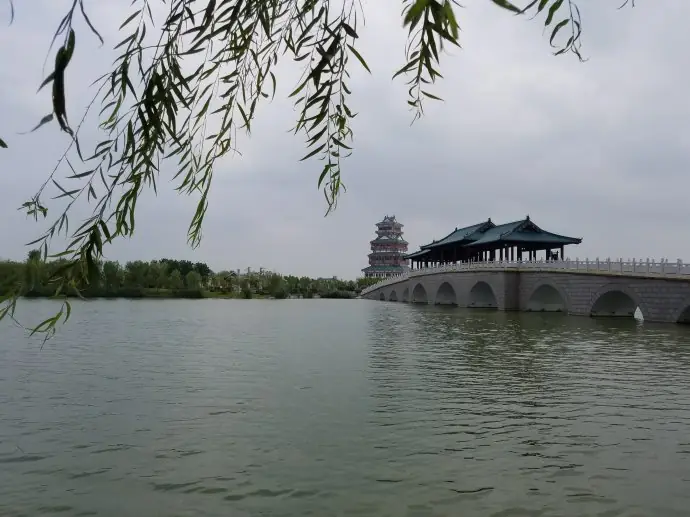
Photo adjustments
EXIF orientation normalized; resized without changing aspect ratio; converted to WebP. No subject edits.
- Administrative area
- County · 县
- Part of
- Heze
- Chinese name
- 成武县
- Local areas
- County guide
Area & population
- Area in the source
- 998.00 km²
- Population · 2019
- 643,700
Source: cited geographic source, as of the dates shown.
An ancient county and capital
Chenghu Ancient City (城湖故城), north of the new town, was the capital of Gao (郜国) in the Western Zhou and Spring and Autumn periods. It later served as the county seat through the Qin and Han dynasties. The site lies within the old town’s protective embankment; its low ground collects water, explaining the name Chenghu, or “city lake”.
Archaeological traces
Surveys at Chenghu Ancient City identified the mound sites of Datai (大台) and Wenting Mountain (文亭山), where finds included Longshan culture and Shang–Zhou remains. Archaeological work also found wells built from stacked pottery rings and rammed-earth building foundations. The ancient city site became a Shandong (山东) provincial cultural heritage protection unit in June 1992.
Sources for this guide
成武县 - 菏泽史志网 · Heze Local History Research Institute
城湖故城 - 菏泽史志网 · Heze Local History Research Institute
Original English written from the listed sources and checked sentence by sentence against quoted extracts by a separate reviewer. Updated 2026-09-26.
Explore Chengwu County
Core places to explore, with English and Chinese names.
Chengwu County 成武县
Plan your visit
Getting there
Chengwu County is about 50 km in a straight line from central Heze. Search for 成武县 in a map app to find stations and your accommodation.
Where to stay →More in Heze
Sources & geographic information
Administrative names and parent areas: Official geographic directory · Reference date 2026-09-06.
Map data © OpenStreetMap contributors. Pins mark approximate centres, not entrances or boundaries.