


Get to know Dongming County
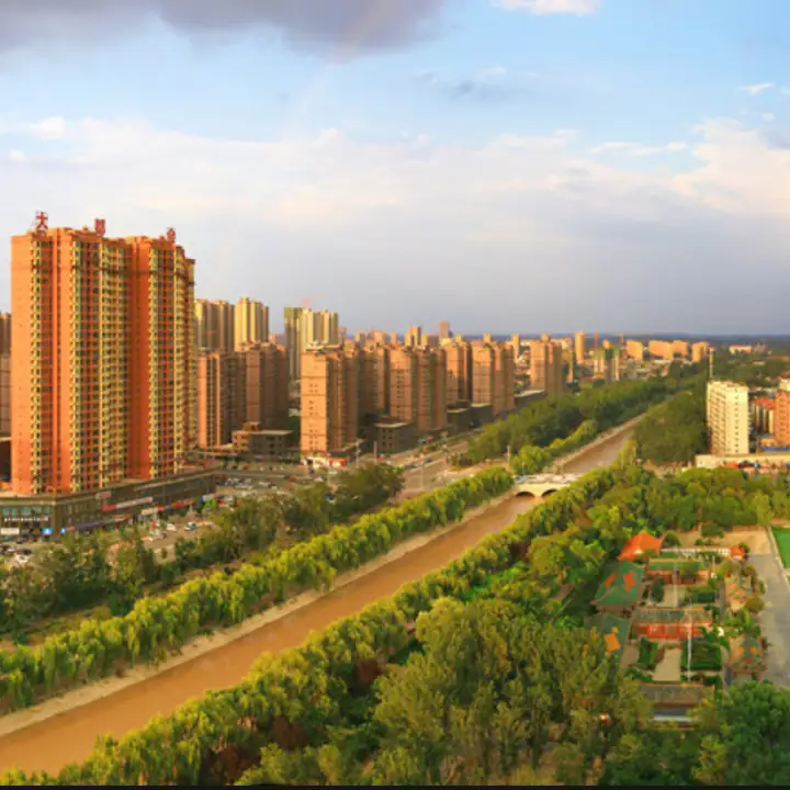
Photo adjustments
EXIF orientation normalized; resized without changing aspect ratio; converted to WebP. No subject edits.
- Administrative area
- County · 县
- Part of
- Heze
- Chinese name
- 东明县
- Local areas
- County guide
Area & population
- Area in the source
- 1,370.00 km²
- Population · 2019
- 748,600
Source: cited geographic source, as of the dates shown.
River and provincial boundary
To the east, Dongming County meets Mudan District (牡丹区) and Cao County (曹县). Lankao County (兰考县), in Henan (河南), lies to the south; Changyuan (长垣) and Puyang (濮阳) face it across the river to the northwest. The national wetland park has abundant aquatic vegetation and birdlife, alongside its wooded areas and lakes.
The county name
The name Dongming dates to AD 9, when Donghun County (东昏县) was renamed under Wang Mang (王莽). Donghun County itself had been established in 140 BC. The Heze Local History Research Institute locates the earlier place called Donghun within the territory of present-day Lankao County, a distinction from the modern county’s boundaries.
Sources for this guide
东明县 - 菏泽史志网 · Heze Local History Research Institute
聚焦黄河文化论坛|沿着黄河遇见海,这些壮美景色不容错过! - 中国日报网 · China Daily / Qilu Net
Original English written from the listed sources and checked sentence by sentence against quoted extracts by a separate reviewer. Updated 2026-09-26.
Explore Dongming County
Core places to explore, with English and Chinese names.
Dongming County 东明县
Plan your visit
Getting there
Dongming County is about 35 km in a straight line from central Heze. Search for 东明县 in a map app to find stations and your accommodation.
Where to stay →More in Heze
Sources & geographic information
Administrative names and parent areas: Official geographic directory · Reference date 2026-09-06.
Map data © OpenStreetMap contributors. Pins mark approximate centres, not entrances or boundaries.