


Get to know Dingtao District
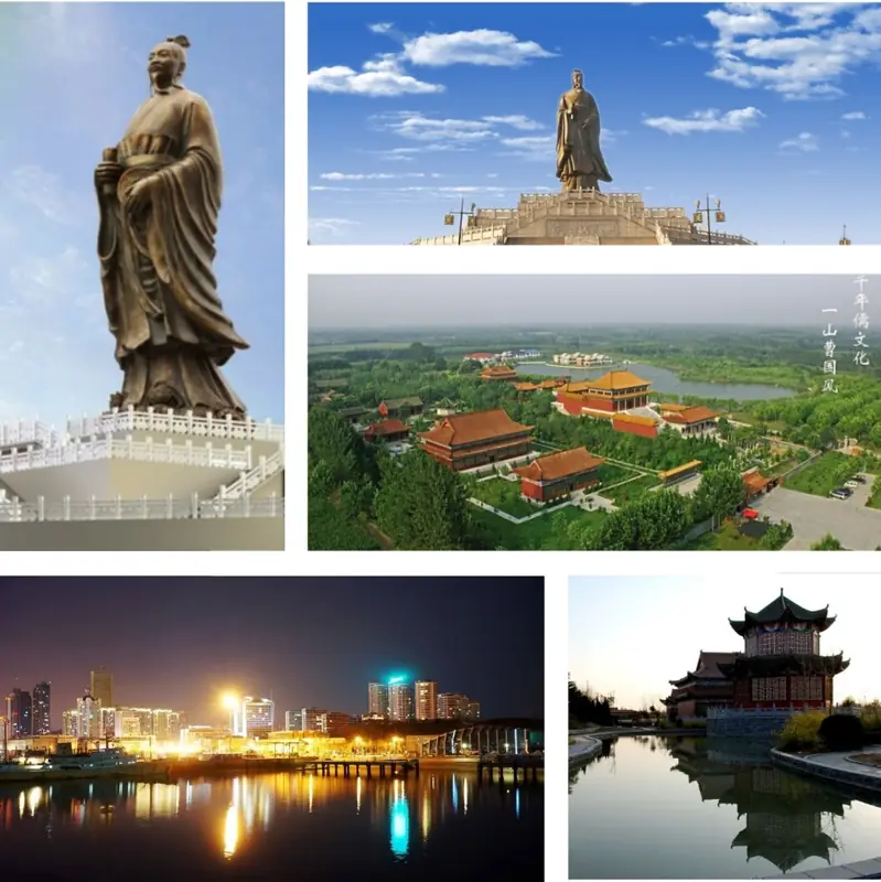
Photo adjustments
EXIF orientation normalized; resized without changing aspect ratio; converted to WebP. No subject edits.
- Administrative area
- District · 市辖区
- Part of
- Heze
- Chinese name
- 定陶区
- Local areas
- District guide
Area & population
- Area in the source
- 846.00 km²
- Population · 2019
- 533,400
Source: cited geographic source, as of the dates shown.
The Fangshan mounds
Fangshan lies about six kilometres north and slightly west of the town centre, with Fangshan Lake (仿山湖) to the east and the Fangshan River (仿山河) to the south. The burial ground comprises eastern and western mounds separated by about fifty metres. Zhou dynasty graves occupy the lower levels, with Han dynasty burials above them.
Burials and later buildings
The Cao-state burial ground dates from the Western Zhou through the Spring and Autumn and Warring States periods. Shandong (山东) listed it as a provincial protected cultural site in 1977. The Jade Emperor Pavilion (玉皇阁) and Baogong Shrine (包公祠) on the mounds are later buildings in traditional styles; the site also preserves Ming and Qing stone inscriptions.
Sources for this guide
定陶区 - 菏泽史志网 · Heze Local History Research Institute
仿山墓群 - 菏泽史志网 · Heze Local History Research Institute
Original English written from the listed sources and checked sentence by sentence against quoted extracts by a separate reviewer. Updated 2026-09-26.
Explore Dingtao District
Core places to explore, with English and Chinese names.
Dingtao District 定陶区
Plan your visit
Getting there
Dingtao District is about 15 km in a straight line from central Heze. Search for 定陶区 in a map app to find stations and your accommodation.
Where to stay →More in Heze
Sources & geographic information
Administrative names and parent areas: Official geographic directory · Reference date 2026-09-06.
Map data © OpenStreetMap contributors. Pins mark approximate centres, not entrances or boundaries.