


Get to know Huantai County
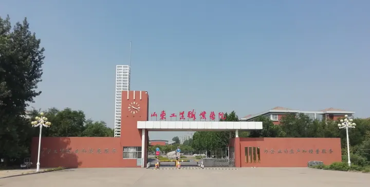
Photo adjustments
Full frame retained; proportionally resized and converted to WebP. No retouching or changes to the photographed subject. Card displays may crop the view.
- Administrative area
- County · 县
- Part of
- Zibo
- Chinese name
- 桓台县
- Local areas
- County guide
Area & population
- Area in the source
- 498.25 km²
Source: cited geographic source, as of the dates shown.
History
The county government dates human settlement here to 4,000 years ago and says the Shijia site (史家遗址) has yielded the earliest oracle-bone writing yet found in China. It dates the first county to 206 BC. Xincheng County (新城县) was created in 1228, was renamed Ershui (耏水县) in January 1914 and then Huantai in April 1914, after a terrace in the county where Duke Huan of Qi (齐桓公) is said to have exercised his horses. Huantai was merged into Boxing County (博兴县) in 1958, restored in 1961 and placed under Zibo in October 1983.
The early Qing poet Wang Yuyang (王渔洋) was born in Xincheng. The county remembers him both as an honest official and as the founder of the "shenyun" (神韵说) theory of poetry, which stresses spirit and resonance; his hometown is now a national 4A scenic area, the Wang Yuyang Hometown (王渔洋故里).
What to see
Local legend says Mata Lake, "horse-trampled lake", was made when Duke Huan's horses trampled the ground while he met the other lords. The Mata Lake National Wetland Park covers 10.21 square kilometres in the north-east of the county. Once a wide lake, it silted up into marsh and is now cut by more than 2,000 channels, with about 15,000 mu of wild reed beds and 363 recorded species of water plants. It is nicknamed "the Jiangnan of the north" (北国江南). Historic sites around it include the Five Worthies Shrine (五贤祠), Xu Ye's study (徐夜书屋), the Lu Lian Well (鲁连井) and the Jinqiu Pavilion (锦秋亭). People on the lake fish, farm raised fields, herd ducks on the water, cut reeds and dig lotus roots, and the area is also a provincial geopark.
Food and local products
White lotus root (白莲藕) is the best-known product of Mata Lake. Each section has nine large holes, eight arranged evenly around a central one, and the plant is named for its white flowers. The root is eaten raw as well as cooked. The roots form in June and July, when they are called "new lotus root" and are white, tender, sweet and crisp; by winter they are fully mature and higher in starch. The county says the root was sent to the court as tribute every year under the Ming and Qing.
Highlights
- Mata Lake National Wetland Park 马踏湖国家湿地公园: 10.21 square kilometres of reed marsh with over 2,000 channels in the north-east of the county.
- Wang Yuyang Hometown 王渔洋故里: National 4A scenic area at the birthplace of the early Qing poet Wang Yuyang in Xincheng.
- Shijia site 史家遗址: Site the county credits with the earliest oracle-bone writing yet found in China.
- White lotus root 白莲藕: Nine-holed lotus root from Mata Lake, sent as tribute under the Ming and Qing.
Sources for this guide
桓台县人民政府 桓台概述 · Huantai County People's Government
桓台县人民政府 历史沿革 · Huantai County People's Government
湿地风采:马踏湖,国家级湿地公园 · Huantai County People's Government
白莲藕:马踏湖特产之冠 · Huantai County People's Government
桓台县 - 维基百科,自由的百科全书 · Wikipedia (Chinese) · CC BY-SA 4.0
Original English written from the listed sources and checked sentence by sentence against quoted extracts by a separate reviewer. Updated 2026-09-23.
Explore Huantai County
Core places to explore, with English and Chinese names.
Huantai County 桓台县
Plan your visit
Getting there
Huantai County is about 15 km in a straight line from central Zibo. Search for 桓台县 in a map app to find stations and your accommodation.
Where to stay →More in Zibo
Sources & geographic information
Administrative names and parent areas: Official geographic directory · Reference date 2026-09-06.
Some facts checked against 桓台县 — Wikipedia contributors, CC BY-SA 4.0.
Map data © OpenStreetMap contributors. Pins mark approximate centres, not entrances or boundaries.