


Get to know Shouyang County
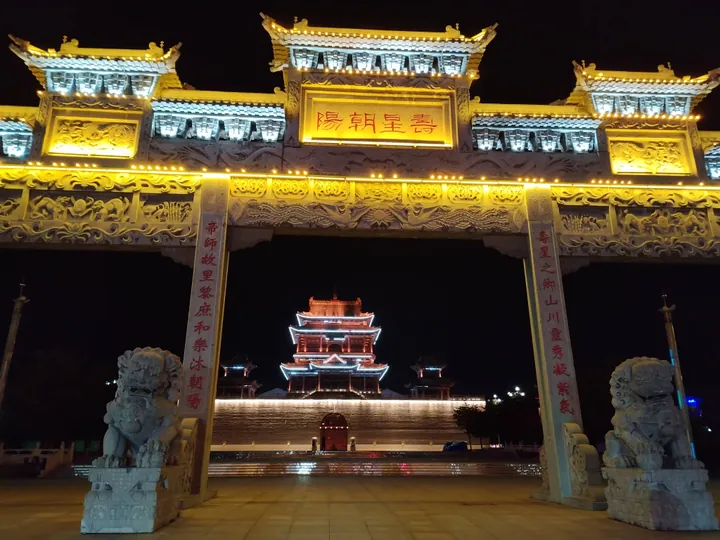
Photo adjustments
Full frame retained; proportionally resized and converted to WebP. No retouching or changes to the photographed subject. Card displays may crop the view.
- Administrative area
- County · 县
- Part of
- Jinzhong
- Chinese name
- 寿阳县
- Local areas
- County guide
River and mountain setting
The Xiao River (潇河) crosses the county, whose waters also include Songta Reservoir (松塔水库), Caizhuang Reservoir (蔡庄水库) and Zhengjiazhuang Reservoir (郑家庄水库). Fangshan National Forest Park (方山国家森林公园) and Longqi Lake (龙栖湖) are among its landscape destinations. The Shijiazhuang–Taiyuan Railway (石太铁路) runs across the county.
Buildings from different dynasties
Shouyang’s religious architecture spans several periods: Lingsong Temple Grottoes (灵嵩寺石窟) date to the Northern Wei, Puguang Temple (普光寺) preserves Song architectural characteristics, and Futian Temple (福田寺) dates to the Yuan. The county also contains the hometown site of Qi Junzao (祁寯藻), who served as teacher to three Qing emperors.
Sources for this guide
寻访山西文化新名片——寿阳篇:福山寿水迎客来 寿阳文旅谱新篇_寿阳文化_走进寿阳_寿阳县人民政府门户网站 · Shouyang County Government
寿阳概况_走进寿阳_寿阳县人民政府门户网站 · Shouyang County Government
Original English written from the listed sources and checked sentence by sentence against quoted extracts by a separate reviewer. Updated 2026-09-26.
Explore Shouyang County
Core places to explore, with English and Chinese names.
Shouyang County 寿阳县
Plan your visit
Getting there
Shouyang County is about 45 km in a straight line from central Jinzhong. Search for 寿阳县 in a map app to find stations and your accommodation.
Where to stay →More in Jinzhong
Sources & geographic information
Administrative names and parent areas: Official geographic directory · Reference date 2026-09-06.
Map data © OpenStreetMap contributors. Pins mark approximate centres, not entrances or boundaries.