


Get to know Kuangqu
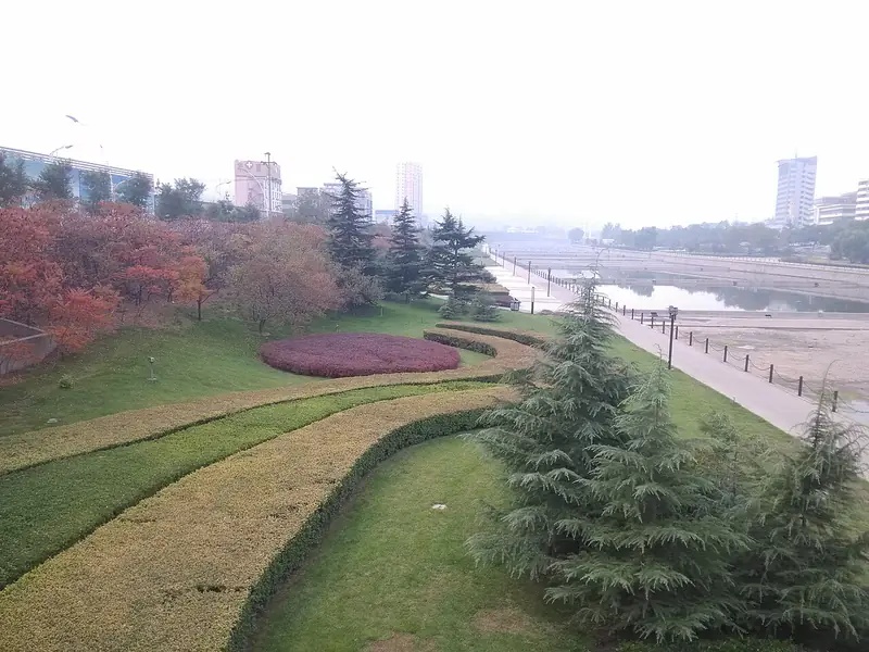
Photo adjustments
Full frame retained; EXIF orientation normalized, proportionally resized to at most 800 pixels and converted to WebP. No generated pixels or subject changes. Cards may crop the display.
- Administrative area
- District · 市辖区
- Part of
- Yangquan
- Chinese name
- 矿区
- Local areas
- District guide
Area & population
- Area in the source
- 10.00 km²
Source: cited geographic source, as of the dates shown.
Between river and mountain
Caiwa Subdistrict (蔡洼街道), in southern Kuangqu, has the Tao River (桃河) to its north and Shinao Mountain (狮脑山) to its south. Its eastern edge meets Chengqu (城区) at Jianzigou (简子沟). The Shijiazhuang–Taiyuan railway (石太铁路) and National Highway 307 (307国道) cross Kuangqu from east to west.
A district shaped by mining
Kuangqu was established in 1970. In April 1971, its revolutionary committee began sharing offices and a leadership team with the mining bureau. The district and the bureau separated their leadership institutions in 1980. In 1984, Guishigou (贵石沟), the location of the bureau’s Fifth Mine, was transferred into Kuangqu from Pingding County (平定县).
Sources for this guide
阳泉市矿区人民政府-矿区简介 · Yangquan Kuangqu Government
阳泉市矿区人民政府-蔡洼街道 · Yangquan Kuangqu Government
Original English written from the listed sources and checked sentence by sentence against quoted extracts by a separate reviewer. Updated 2026-09-26.
Explore Kuangqu
Core places to explore, with English and Chinese names.
Plan your visit
Getting there
Kuangqu covers the centre of Yangquan. Search for 矿区 in a map app to find stations and your accommodation.
Where to stay →More in Yangquan
Sources & geographic information
Administrative names and parent areas: Official geographic directory · Reference date 2026-09-06.
Map data © OpenStreetMap contributors. Pins mark approximate centres, not entrances or boundaries.