


Get to know Dongshi Township
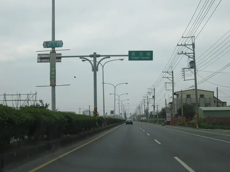
Photo adjustments
Full frame retained; EXIF orientation normalized, proportionally resized to at most 800 pixels and converted to WebP. No generated pixels or subject changes. Cards may crop the display.
- Administrative area
- Rural township · 鄉
- Part of
- Chiayi County
- Chinese name
- 東石鄉
- Local areas
- Rural township guide
Aogu Wetland
Aogu Wetland (鰲鼓濕地) began as a Taiwan Sugar Corporation farm. Land subsidence and seawater intrusion salinised the farmland and fishponds; after abandonment, these areas became habitat for birds, including winter visitors. The wetland lies south of the Beigang River (北港溪) mouth. Mangroves and intertidal habitats are part of its landscape, and the Guanhai Tower (觀海樓) provides a panoramic view across it.
Fishing waterfront
At Dongshi Fisherman’s Wharf (東石漁人碼頭), a wooden boardwalk follows the seawall, with fishing-themed installations nearby. Restaurants around the fishing port serve oyster dishes. The Puzi River Estuary Wetland (朴子溪口溼地) has birdwatching facilities on its embankments and interpretation panels along the route; Dongshi Bridge (東石大橋) overlooks the wetland.
Sources for this guide
鰲鼓濕地 | 雲嘉南濱海國家風景區 · Southwest Coast National Scenic Area Administration
東石、布袋 | 雲嘉南濱海國家風景區 · Southwest Coast National Scenic Area Administration
Original English written from the listed sources and checked sentence by sentence against quoted extracts by a separate reviewer. Updated 2026-09-27.
Explore Dongshi Township
Core places to explore, with English and Chinese names.
Dongshi Township 東石鄉
Plan your visit
Getting there
Dongshi Township is about 45 km in a straight line from central Chiayi County. Search for 東石鄉 in a map app to find stations and your accommodation.
Where to stay →More in Chiayi County
Sources & geographic information
Administrative names and parent areas: Official geographic directory · Reference date 2026-09-06.
Map data © OpenStreetMap contributors. Pins mark approximate centres, not entrances or boundaries.