


Get to know Baozhong Township
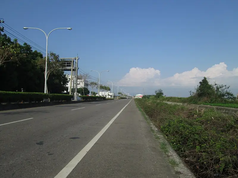
Photo adjustments
Full frame retained; EXIF orientation normalized, proportionally resized to at most 800 pixels and converted to WebP. No generated pixels or subject changes. Cards may crop the display.
- Administrative area
- Rural township · 鄉
- Part of
- Yunlin County
- Chinese name
- 褒忠鄉
- Local areas
- Rural township guide
Area & population
- Area in the source
- 37.00 km²
Source: cited geographic source, as of the dates shown.
Royal-lord worship at Mamingshan
Mamingshan Zhen’an Temple (馬鳴山鎮安宮) worships the Five-Year Qiansui (五年千歲), a group of royal-lord deities with twelve surnames. Its ritual route moves between incense stations for Heaven, the Qiansui, Guanyin, local guardian and earth deities, and the Jade Emperor and Three Officials. This arrangement gives the temple several distinct devotional spaces.
Food shared across village boundaries
The Lantern Festival procession is known as Chifandan (吃飯擔). Villages in Baozhong and neighbouring Dongshi (東勢) take turns providing meals for procession participants and visitors. Seasoned rice, soups and other dishes are shared as a communal peace-seeking meal. Baozhong’s other religious places include Tai’an and Chaoyang temples (泰安宮、潮洋宮).
Sources for this guide
褒忠鄉 - 维基百科,自由的百科全书 · Wikipedia contributors · CC BY-SA 4.0
褒忠鄉馬鳴山鎮安宮 - 慢遊雲林 · Yunlin County tourism website
Original English written from the listed sources and checked sentence by sentence against quoted extracts by a separate reviewer. Updated 2026-09-30.
Explore Baozhong Township
Core places to explore, with English and Chinese names.
Baozhong Township 褒忠鄉
Plan your visit
Getting there
Baozhong Township is about 15 km in a straight line from central Yunlin County. Search for 褒忠鄉 in a map app to find stations and your accommodation.
Where to stay →More in Yunlin County
Sources & geographic information
Administrative names and parent areas: Official geographic directory · Reference date 2026-09-06.
Some facts checked against 褒忠鄉 — Wikipedia contributors, CC BY-SA 4.0.
Map data © OpenStreetMap contributors. Pins mark approximate centres, not entrances or boundaries.