


Get to know Xiluo Township
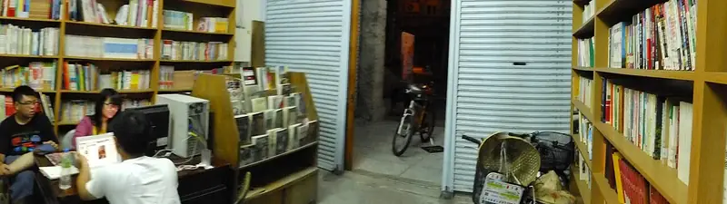
Photo adjustments
Full frame retained; EXIF orientation normalized, proportionally resized to at most 800 pixels and converted to WebP. No generated pixels or subject changes. Cards may crop the display.
- Administrative area
- Township · 鎮
- Part of
- Yunlin County
- Chinese name
- 西螺鎮
- Local areas
- Township guide
Area & population
- Area in the source
- 50.00 km²
Source: cited geographic source, as of the dates shown.
Buildings and sculpture
An urban rebuilding plan changed Xiluo’s streets in 1937. Buildings from the 1925–1945 period display strongly decorative facades. Public sculpture later became part of the town’s art programme: Daqiao Sculpture Park (大橋雕塑公園) was established in 2011, and the Xiluo Bridge Tourism and Culture Festival (西螺大橋觀光文化節) became the Xiluo Town Art Festival (西螺小鎮藝術節) in 2014.
A tea merchant’s building reused
In 2003, the Luoyang Cultural and Educational Foundation (螺陽文教基金會) converted Jiefa Qianji Tea House (捷發乾記茶莊) into the Xiluo Yanping Old Street Cultural Hall (西螺延平老街文化館). It subsequently became Xiluo Ecomuseum (西螺生態博物館), receiving its museum registration certificate in December 2024. Its work includes exhibitions, historic-street conservation and a database of local studies.
Sources for this guide
何美慧校友獻力 催生雲林首座私立博物館-西螺生態博物館 – Ming Chuan Weekly 銘傳一週 · Ming Chuan University, Ming Chuan Weekly
2023西螺木雕創作營 · National Dong Hwa University, Department of Arts and Design
Original English written from the listed sources and checked sentence by sentence against quoted extracts by a separate reviewer. Updated 2026-09-27.
Explore Xiluo Township
Core places to explore, with English and Chinese names.
Xiluo Township 西螺鎮
Plan your visit
Getting there
Xiluo Township is about 9 km in a straight line from central Yunlin County. Search for 西螺鎮 in a map app to find stations and your accommodation.
Where to stay →More in Yunlin County
Sources & geographic information
Administrative names and parent areas: Official geographic directory · Reference date 2026-09-06.
Map data © OpenStreetMap contributors. Pins mark approximate centres, not entrances or boundaries.