


Get to know Linnei Township
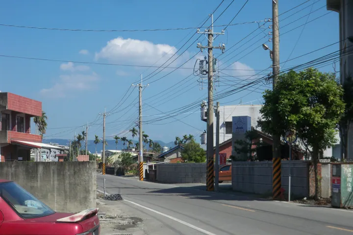
Photo adjustments
Full frame retained; proportionally resized and converted to WebP. No retouching or changes to the photographed subject. Card displays may crop the view.
- Administrative area
- Rural township · 鄉
- Part of
- Yunlin County
- Chinese name
- 林內鄉
- Local areas
- Rural township guide
Area & population
- Area in the source
- 38.00 km²
Source: cited geographic source, as of the dates shown.
A dragon-shaped ridge
The trail takes its name from ridgelines likened to a dragon’s back and, at the meeting of the Zhuoshui River (濁水溪) and Qingshui River (清水溪), a dragon drinking water. The route is about 2.2 kilometres long, with earth surfaces, wooden boardwalks and steps. Views from the ridge extend across Yunlin and towards the Bagua Mountains (八卦山).
Shrine traces and woodland
From the Tieguankeng (鐵管坑) entrance, the route first passes Linnei Park (林內公園), a former shrine site with a torii gate. Below the ridge, low-elevation secondary forest supports crested serpent eagles, Formosan macaques and fairy pittas. Purple crow butterflies also occur here in spring.
Sources for this guide
龍過脈森林步道 · Forestry and Nature Conservation Agency
Original English written from the listed sources and checked sentence by sentence against quoted extracts by a separate reviewer. Updated 2026-09-27.
Explore Linnei Township
Core places to explore, with English and Chinese names.
Linnei Township 林內鄉
Plan your visit
Getting there
Linnei Township is about 15 km in a straight line from central Yunlin County. Search for 林內鄉 in a map app to find stations and your accommodation.
Where to stay →More in Yunlin County
Sources & geographic information
Administrative names and parent areas: Official geographic directory · Reference date 2026-09-06.
Map data © OpenStreetMap contributors. Pins mark approximate centres, not entrances or boundaries.