


Get to know Mailiao Township
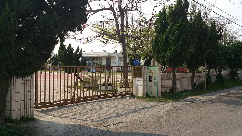
Photo adjustments
Full frame retained; EXIF orientation normalized, proportionally resized to at most 800 pixels and converted to WebP. No generated pixels or subject changes. Cards may crop the display.
- Administrative area
- Rural township · 鄉
- Part of
- Yunlin County
- Chinese name
- 麥寮鄉
- Local areas
- Rural township guide
Area & population
- Area in the source
- 80.00 km²
Source: cited geographic source, as of the dates shown.
A wheat-storage settlement
The place name recalls a shed beside a ferry landing where farmers stacked bags of wheat. River-course changes and accumulated sediment altered the earlier harbour landscape. The Zhuoshui estuary wetland, shoreline and windbreak woodland are among the township’s coastal places, while Mailiao harbour serves its industrial economy.
Carving and inscriptions at Gongfan
Gongfan Temple (拱範宮), in Maifeng village (麥豐村), was founded in 1685. Its decoration includes carved birds and flowers, dragons and phoenixes, painted figures and poetic inscriptions. Qianliyan (千里眼) and Shunfeng’er (順風耳) figures flank the front, with stone lions beside them. Inside hangs a plaque dating to the Qing Daoguang reign.
Sources for this guide
麥寮鄉 - 维基百科,自由的百科全书 · Wikipedia contributors · CC BY-SA 4.0
雲林縣麥寮鄉公所-麥寮風情-觀光導覽 · Mailiao Township Office
Mailiao · Wikipedia contributors · CC BY-SA 4.0
Original English written from the listed sources and checked sentence by sentence against quoted extracts by a separate reviewer. Updated 2026-09-30.
Explore Mailiao Township
Core places to explore, with English and Chinese names.
Mailiao Township 麥寮鄉
Plan your visit
Getting there
Mailiao Township is about 25 km in a straight line from central Yunlin County. Search for 麥寮鄉 in a map app to find stations and your accommodation.
Where to stay →More in Yunlin County
Sources & geographic information
Administrative names and parent areas: Official geographic directory · Reference date 2026-09-06.
Some facts checked against 麥寮鄉 — Wikipedia contributors, CC BY-SA 4.0.
Some facts checked against Mailiao — Wikipedia contributors, CC BY-SA 4.0.
Map data © OpenStreetMap contributors. Pins mark approximate centres, not entrances or boundaries.