


Get to know Akqi County
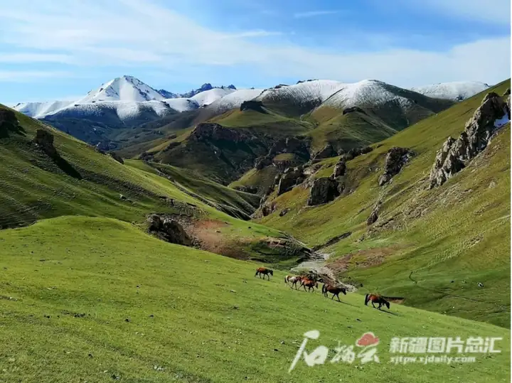
Photo adjustments
EXIF orientation normalized; resized without changing aspect ratio; converted to WebP. No subject edits.
- Administrative area
- County · 县
- Part of
- Kizilsu Kyrgyz Autonomous Prefecture
- Chinese name
- 阿合奇县
- Local areas
- County guide
Area & population
- Area in the source
- 11,545.00 km²
- Population · 2020
- 44,369
Source: cited geographic source, as of the dates shown.
Epic stories and falconry
The Kyrgyz Heritage Town (柯尔克孜非遗小镇) stands in the western section of Jialangqi New Town (佳朗奇新城). Its Manas Epic Hall (玛纳斯史诗馆) introduces the epic, which is also presented through performance. In Ahetala Village (阿合塔拉村), Sumutash Township (苏木塔什乡), a falconry ground presents demonstrations of trained birds and describes experiences involving holding birds of prey and riding horses.
Glaciers and a village campsite
Xiaomuziduke (小木孜都克) brings together glaciers, rivers, plateaux, snowy mountains and Gobi terrain. Kuoketuohai Campsite (阔克托海露营基地), also in Ahetala Village, has yurts, tents, outdoor tables and play equipment. The county government describes its surrounding landscape as natural grassland wetland and forest, with horse riding and woodland walks among its activities.
Explore Akqi County
Core places to explore, with English and Chinese names.
Akqi County 阿合奇县
Plan your visit
Getting there
Akqi County is about 235 km in a straight line from central Kizilsu Kyrgyz Autonomous Prefecture. Search for 阿合奇县 in a map app to find stations and your accommodation.
Where to stay →More in Kizilsu Kyrgyz Autonomous Prefecture
Sources & geographic information
Administrative names and parent areas: Official geographic directory · Reference date 2026-09-06.
Map data © OpenStreetMap contributors. Pins mark approximate centres, not entrances or boundaries.