


Get to know Toksun County
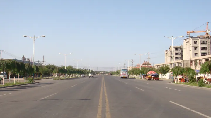
Photo adjustments
Full frame retained; proportionally resized and converted to WebP. No retouching or changes to the photographed subject. Card displays may crop the view.
- Administrative area
- County · 县
- Part of
- Turpan
- Chinese name
- 托克逊县
- Local areas
- County guide
Area & population
- Area in the source
- 16,561.00 km²
- Population · 2020
- 134,235
- Administrative seat
- Toksun Town
Source: cited geographic source, as of the dates shown.
Eroded stone and carved sandstone
At Panjir Strange Stone Forest (盘吉尔怪石林), wind erosion has shaped igneous rock into forms resembling people and animals. The Ke’erjian Rock Carvings (克尔碱岩画) are cut into sandstone; an incised water-system diagram records the distribution of ancient waterways. Tianshan Red River Valley (天山红河谷) contrasts red mountain surfaces with green vegetation. Around the spring equinox, apricot blossom spreads through the county’s orchards.
Noodles, skewers and sorghum bread
Toksun mixed noodles (托克逊拌面) use meat from local black sheep. The county’s grilled lamb skewers are described by its electronic government office as golden, crisp outside and tender inside. White sorghum nang (白高粱馕) is made with locally grown white sorghum and has a crisp texture. In winter, the Baiyang River (白杨河) supports gatherings of migratory birds, including swans and egrets.
Sources for this guide
托克逊县旅游常识 · Toksun County Electronic Government Office
Original English written from the listed sources and checked sentence by sentence against quoted extracts by a separate reviewer. Updated 2026-09-27.
Explore Toksun County
Core places to explore, with English and Chinese names.
Places to explore around Toksun County
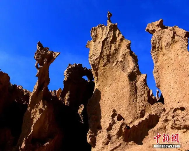 Panjier Stone Forest ·
 Plan your visit
Getting there
Toksun County is about 50 km in a straight line from central Turpan. Search for 托克逊县 in a map app to find stations and your accommodation.
Where to stay →Build your route
Start with Panjier Stone Forest. The linked place guides have entrance and visit details.
Continue with Turpan →More in Turpan
Sources & geographic information
Administrative names and parent areas: Official geographic directory · Reference date 2026-09-06.
Photo: Panjier Stone Forest · Source photographer · License not provided. EXIF orientation normalized; resized without changing aspect ratio; converted to WebP. No subject edits.
Map data © OpenStreetMap contributors. Pins mark approximate centres, not entrances or boundaries.