


Get to know Yingjiang County
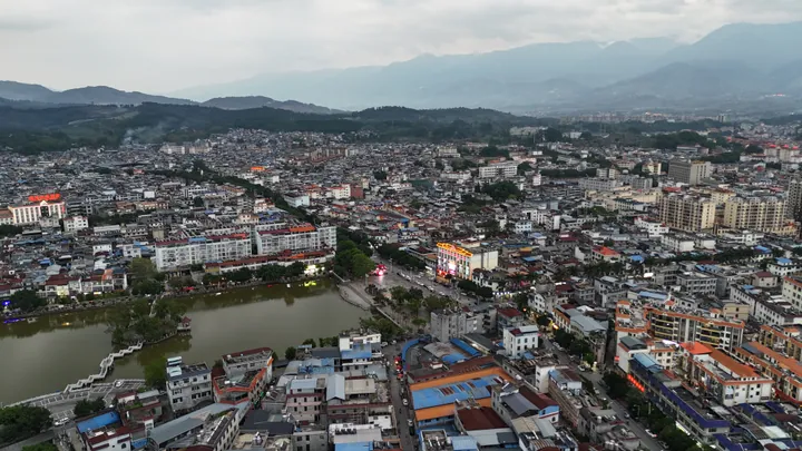
Photo adjustments
Full frame retained; proportionally resized and converted to WebP. No retouching or changes to the photographed subject. Card displays may crop the view.
- Administrative area
- County · 县
- Part of
- Dehong Dai and Jingpo Autonomous Prefecture
- Chinese name
- 盈江县
- Local areas
- County guide
Area & population
- Area in the source
- 4,429.00 km²
- Population · 2020 census
- 292,508
- Administrative seat
- Pingyuan
Source: cited geographic source, as of the dates shown.
Roots that become trunks
The tree spreads a broad canopy supported by a complex network of roots. Fine roots descend from its branches and thicken after reaching the soil, creating additional trunk-like supports. Its intertwined branches and roots give one tree the appearance of a grove. Banyans hold religious meaning for local Dai communities, who honour some old trees as sacred village trees.
A path beside the S bend
The Daying River (大盈江) makes a broad S-shaped bend in the county, with rice fields and bamboo around the water. A riverside path follows the curve for walking and cycling. Beside it, a riverfront café has a lawn and views across the bend towards the surrounding hills, where sunset colours reflect on the water.
Sources for this guide
【盈江文苑】华夏榕树王:在岁月的烟云中沉浮 · Dehong Prefecture Converged Media Center
来盈江S湾,人少咖香落日美~ · Dehong Prefecture Converged Media Center; source: Yingjiang Culture and Tourism
Original English written from the listed sources and checked sentence by sentence against quoted extracts by a separate reviewer. Updated 2026-09-27.
Explore Yingjiang County
Core places to explore, with English and Chinese names.
Places to explore around Yingjiang County
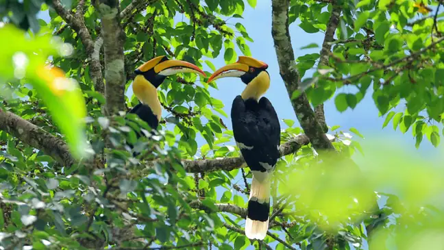 Shiti Village Birdwatching Trail ·
 Plan your visit
Getting there
Yingjiang County is about 75 km in a straight line from central Dehong Dai and Jingpo Autonomous Prefecture. Search for 盈江县 in a map app to find stations and your accommodation.
Where to stay →Build your route
Start with Shiti Village Birdwatching Trail. The linked place guides have entrance and visit details.
Continue with Dehong Dai and Jingpo Autonomous Prefecture →More in Dehong Dai and Jingpo Autonomous Prefecture
Sources & geographic information
Administrative names and parent areas: Official geographic directory · Reference date 2026-09-06.
Photo: Shiti Village Birdwatching Trail · Source photographer · License not provided. EXIF orientation normalized; resized without changing aspect ratio; converted to WebP. No subject edits.
Map data © OpenStreetMap contributors. Pins mark approximate centres, not entrances or boundaries.