


Get to know Jiaojiang District
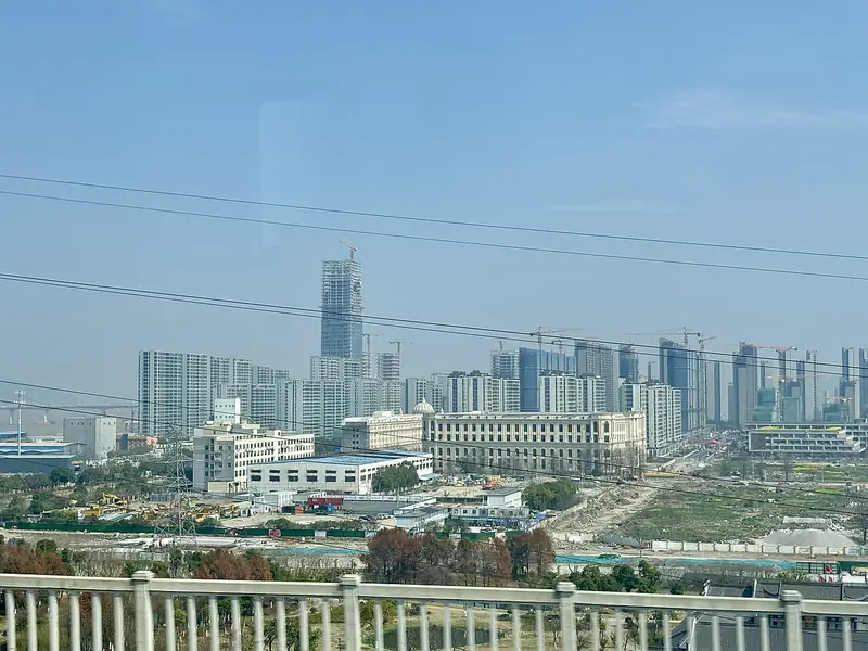
Photo adjustments
Full frame retained; EXIF orientation normalized, proportionally resized to at most 800 pixels and converted to WebP. No generated pixels or subject changes. Cards may crop the display.
- Administrative area
- District · 市辖区
- Part of
- Taizhou
- Chinese name
- 椒江区
- Local areas
- District guide
Area & population
- Area in the source
- 363.79 km²
- Population · 2020
- 826,100
Source: cited geographic source, as of the dates shown.
Rocky islands and sea-worn shores
At Jiawuyan (甲午岩) on Lower Dachen, two great rock faces stand opposite one another above turbulent water. Wushatou (乌沙头) on Upper Dachen has dark coastal stone and distinctive sea-eroded formations. The local gazetteer describes the two hilly islands facing each other across the water.
Remembering the reclamation years
The reclamation monument stands on Huangfujiao (黄夫礁), on Lower Dachen. An official2023 heritage account records its completion in1999 and describes memorial stories of reclamation team members. A former electricity plant has also been adapted into a cultural exhibition, using older objects and reconstructed scenes to explain reclamation, power generation and the island community’s development.
Sources for this guide
椒江:打造大陈岛“垦荒立心·清风践行”红廉游览路线 · Jiaojiang District Party History Research Office; Taizhou Government
第二节 沿海名胜 · Taizhou Local Chronicles Office
Original English written from the listed sources and checked sentence by sentence against quoted extracts by a separate reviewer. Updated 2026-09-30.
Explore Jiaojiang District
Core places to explore, with English and Chinese names.
Places to explore around Jiaojiang District
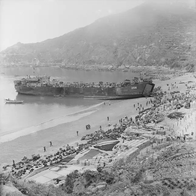 Dachen Island ·
 Plan your visit
Getting there
Jiaojiang District covers the centre of Taizhou. Search for 椒江区 in a map app to find stations and your accommodation.
Where to stay →Build your route
Start with Dachen Island. The linked place guides have entrance and visit details.
Continue with Taizhou →More in Taizhou
Sources & geographic information
Administrative names and parent areas: Official geographic directory · Reference date 2026-09-06.
Photo: Dachen Island · 行政院新聞局 · Public domain. EXIF orientation normalized; resized without changing aspect ratio; converted to WebP. No subject edits.

Map data © OpenStreetMap contributors. Pins mark approximate centres, not entrances or boundaries.