


Get to know Yuhuan
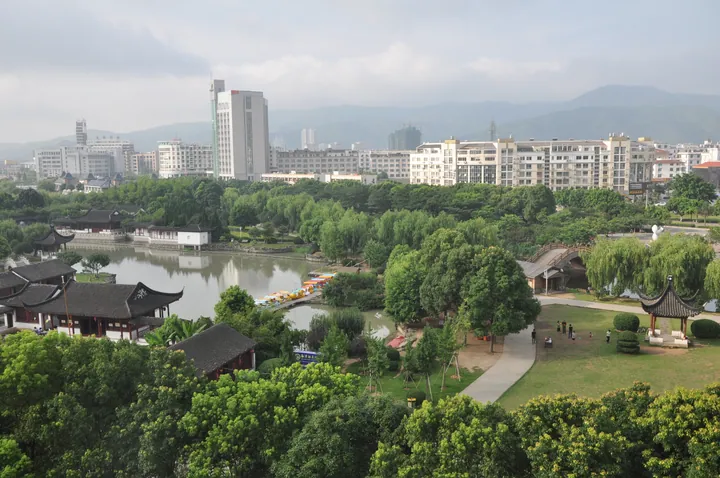
Photo adjustments
Full frame retained; proportionally resized and converted to WebP. No retouching or changes to the photographed subject. Card displays may crop the view.
- Administrative area
- County-level city · 县级市
- Part of
- Taizhou
- Chinese name
- 玉环市
- Local areas
- County-level city guide
Area & population
- Area in the source
- 2,279.00 km²
Source: cited geographic source, as of the dates shown.
Woodland and sea-worn rock
Dalu lies southeast of Yuhuan, with volcanic bedrock shaped by coastal erosion. Forest and unusual reefs form important parts of its scenery. The Taizhou gazetteer also records Southern Song military and Yuan inspection-office remains on the smaller Xiaolu Island (小鹿岛) nearby.
Art made from the landscape
Artist Hong Shiqing (洪世清) used the island’s existing rocks to create sculptures of marine animals. Line carving, relief and carving in the round allow stone shapes to suggest different creatures. Cliff inscriptions by artists including Liu Haisu (刘海粟) and Sha Menghai (沙孟海) add written and calligraphic elements to this combination of coastal scenery and outdoor art.
Explore Yuhuan
Core places to explore, with English and Chinese names.
Places to explore around Yuhuan
 Yuhuan Dalu Island ·
 Plan your visit
Getting there
Yuhuan is about 60 km in a straight line from central Taizhou. Search for 玉环市 in a map app to find stations and your accommodation.
Where to stay →Build your route
Start with Yuhuan Dalu Island. The linked place guides have entrance and visit details.
Continue with Taizhou →More in Taizhou
Sources & geographic information
Administrative names and parent areas: Official geographic directory · Reference date 2026-09-06.
Photo: Yuhuan Dalu Island · Micromesistius · CC BY-SA 3.0. EXIF orientation normalized; resized without changing aspect ratio; converted to WebP. No subject edits.

Map data © OpenStreetMap contributors. Pins mark approximate centres, not entrances or boundaries.