


Get to know Bagongshan district
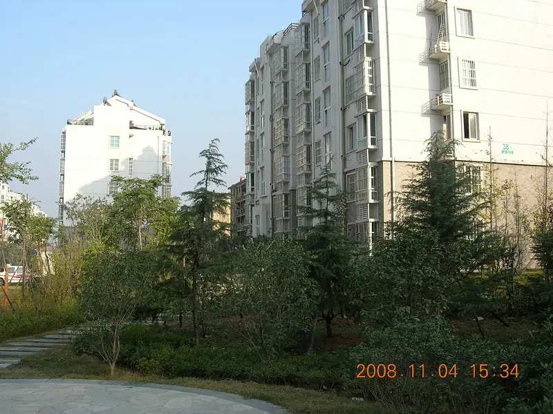
Photo adjustments
Full frame retained; EXIF orientation normalized, proportionally resized to at most 800 pixels and converted to WebP. No generated pixels or subject changes. Cards may crop the display.
- Administrative area
- District · 市辖区
- Part of
- Huainan
- Chinese name
- 八公山区
- Local areas
- District guide
Area & population
- Area in the source
- 105.00 km²
- Population · 2020
- 118,221
- Administrative seat
- Xinzhuangzi
Source: cited geographic source, as of the dates shown.
Setting and landscape
Mount Bagong is an outlier of the Dabie Mountains (大别山): more than forty peaks over more than 200 square kilometres, with its highest point, Bai'e Shan (白鹗山), at 241.1 metres. The range has over ten springs, among them Pearl Spring (珍珠泉) and Agate Spring (玛瑙泉), and karst landforms including a stone forest. Anhui made it a provincial scenic area in 1987; it became a national geopark in 2001, a national forest park in 2002 and a national 4A scenic area in 2003.
The name comes from a legend: the "eight elders" (八公), retainers of Liu An (刘安), King of Huainan under the Western Han, including Su Fei, Li Shang and Mao Bei, are said to have become immortals on the mountain.
History
In the Western Zhou the area belonged to the state of Zhoulai (州来), and in the early Han to the kingdom of Huainan. In 383 the Battle of Fei River (淝水之战) was fought near Mount Bagong; the Former Qin ruler Fu Jian (苻坚), looking out from Shouchun, is said to have mistaken the trees and grass on the mountain for Eastern Jin soldiers, the origin of the idiom "every bush and tree an enemy soldier".
Under the Qing the area passed from Shou County to Fengtai. In January 1949 Fengtai County set up the Bagongshan and Caijiagang districts south of the Huai; the county-level Bagongshan District dates from February 1955, and Xiejiaji District was split off from it in October 1961.
What to see
Inside the Bagongshan scenic area stand the Han Palace of the King of Huainan (汉淮南王宫) and the Shengxian Terrace (升仙台). The district has also developed the stone forest, fossil trackways, Baita Temple (白塔寺), the Huainanzi Culture Park (淮南子文化园) and Han Que Square (汉阙广场) as sights. The Bagongshan Geological Museum, upgraded in September 2022, displays the range's minerals, rocks and fossils; fossils found in the Mount Bagong area in 1978 include the "Huainan worm" (淮南虫), dated to about 800 million years ago and counted among the world's earliest multicellular fossils.
Food and local products
Huainan Daily calls Mount Bagong the birthplace of tofu, and a local saying holds that Bagongshan tofu is "the best under heaven". The signature tofu dish "Liu An Dian Dan" (刘安点丹, "Liu An's elixir drop") lets diners watch soy milk set into curd, and restaurants in the district serve over a hundred tofu dishes. Huainan beef soup from long-established shops is sold on the district's streets.
Highlights
- Mount Bagong 八公山: Dabie outlier with over forty peaks, a stone forest and more than ten springs; national geopark since 2001.
- Han Palace of the King of Huainan 汉淮南王宫: Stands with the Shengxian Terrace inside the Bagongshan scenic area.
- Bagongshan Geological Museum 八公山地质博物馆: Upgraded in 2022; shows the range's minerals, rocks and fossils.
- Bagongshan tofu 八公山豆腐: Mount Bagong is presented as the birthplace of tofu; over a hundred tofu dishes are served in the district.
Sources for this guide
区情概况-淮南市八公山区人民政府网 · Bagongshan District People's Government, Huainan
最是一年好春光 八公山下旅游热_淮南市人民政府 · Huainan Municipal People's Government (from Huainan Daily)
八公山 - 维基百科,自由的百科全书 · Wikipedia (Chinese) · CC BY-SA 4.0
Original English written from the listed sources and checked sentence by sentence against quoted extracts by a separate reviewer. Updated 2026-09-23.
Explore Bagongshan district
Core places to explore, with English and Chinese names.
Places to explore around Bagongshan district
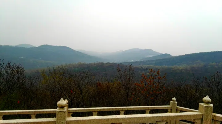 Misty hills of the Bagong Mountain scenic area seen from an overlook, Huainan ·
 Plan your visit
Getting there
Bagongshan district is about 15 km in a straight line from central Huainan. Search for 八公山区 in a map app to find stations and your accommodation.
Where to stay →Build your route
Start with Bagong Mountain. The linked place guides have entrance and visit details.
Continue with Huainan →More in Huainan
Sources & geographic information
Administrative names and parent areas: Official geographic directory · Reference date 2026-09-06.
Some facts checked against 八公山 — Wikipedia contributors, CC BY-SA 4.0.
Photo: Bagong Mountain · Virgil Guo · CC BY-SA 4.0. Full frame retained; proportionally resized and converted to WebP. No retouching or changes to the photographed subject. Card displays may crop the view.

Map data © OpenStreetMap contributors. Pins mark approximate centres, not entrances or boundaries.