


Get to know Shenchi County
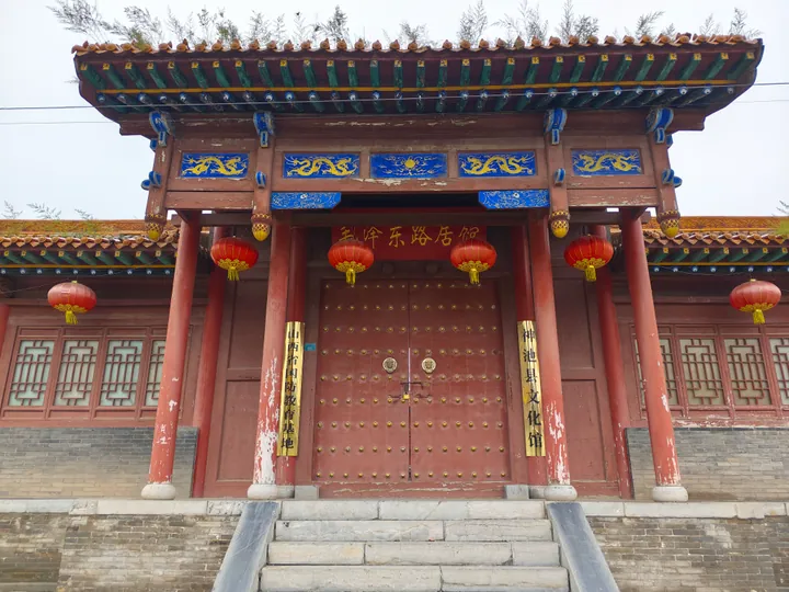
Photo adjustments
Full frame retained; proportionally resized and converted to WebP. No retouching or changes to the photographed subject. Card displays may crop the view.
- Administrative area
- County · 县
- Part of
- Xinzhou
- Chinese name
- 神池县
- Local areas
- County guide
Three mountains and two valleys
The county’s terrain falls from east to west. Between its three mountain belts lie the Xianchuan (县川) and Zhujiachuan (朱家川) valleys, giving rise to the local description of three mountains enclosing two valleys. Shenchi became a county in 1725, during the Qing dynasty. The Ming dynasty had earlier built a fortified settlement here alongside the Great Wall.
Flaxseed oil and grains
Shenchi huyou (神池胡油) is edible oil pressed from locally grown flaxseed. Shenchi county government traces its oil-pressing industry to around 1488. Other local crops include naked oats, black beans and millet, while mutton and mooncakes are among its named food specialities.
Explore Shenchi County
Core places to explore, with English and Chinese names.
Shenchi County 神池县
Plan your visit
Getting there
Shenchi County is about 90 km in a straight line from central Xinzhou. Search for 神池县 in a map app to find stations and your accommodation.
Where to stay →More in Xinzhou
Sources & geographic information
Administrative names and parent areas: Official geographic directory · Reference date 2026-09-06.
Map data © OpenStreetMap contributors. Pins mark approximate centres, not entrances or boundaries.