


Get to know Luojiang District
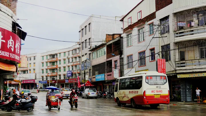
Photo adjustments
Full frame retained; proportionally resized and converted to WebP. No retouching or changes to the photographed subject. Card displays may crop the view.
- Administrative area
- District · 市辖区
- Part of
- Quanzhou
- Chinese name
- 洛江区
- Local areas
- District guide
Area & population
- Area in the source
- 371.90 km²
- Population · 2020 census
- 247,172
Source: cited geographic source, as of the dates shown.
Setting and landscape
Hui'an (惠安) and Xianyou (仙游) counties border the district to the northeast, Nan'an (南安) to the west and Fengze District (丰泽区) to the south. The north is mountainous, rising to Shuangji Mountain (双髻山) at 758 metres, while the south reaches Quanzhou Bay (泉州湾). The Luoyang is named by Chinese Wikipedia as Quanzhou's second-largest river.
What to see
Luoyang Bridge was begun in 1053 and completed in 1059, after Cai Xiang (蔡襄), prefect of Quanzhou, took charge of the work; the builders laid a raft foundation and raised oysters in the river to strengthen the base. The bridge rests on 46 piers and crosses a midstream island, Zhongzhou (中洲); its north end lies in Hui'an and its south end in Luojiang. Seven stone towers stand outside the railings and stone guardian figures watch each end. It became a national key protected site in 1988 and is one of the 22 component sites of the World Heritage property "Quanzhou: Emporium of the World in Song-Yuan China".
Xiangong Mountain (仙公山) is the district's noted mountain, linked with the cult of the Nine Immortals (九仙). Guifeng Yan (龟峰岩), a provincial protected site, is likened in shape to a tortoise drinking and has three temples side by side. The district also has the Hongshan waterfall (虹山瀑布) and a memorial hall to Yu Dayou (俞大猷纪念馆), the Ming general and martial artist whom the district names as its famous figure; Yu family staff fighting (俞家棍) is among its listed intangible heritage. Yang-En University (仰恩大学) is also in the district.
History and heritage
The area once belonged to Jinjiang County (晋江县) under Quanzhou prefecture. When the State Council divided the old Licheng District (鲤城区) into three on 3 June 1997, Luojiang was one of the new districts, and its government opened on 29 September that year.
The legend of Chen San and Wuniang (陈三五娘传说) is on the national intangible heritage list. Other listed traditions include the Xiangong Mountain legend, shiyin tongluo (十音铜锣) gong music and zhuanggaoren (妆糕人) craft.
Highlights
- Luoyang Bridge 洛阳桥: Stone estuary bridge built 1053–1059; part of the Quanzhou World Heritage property.
- Xiangong Mountain 仙公山: The district's noted mountain, linked with Nine Immortals worship.
- Guifeng Yan 龟峰岩: Provincial protected site with three temples side by side.
- Yu Dayou Memorial Hall 俞大猷纪念馆: Honours the Ming general and martial artist Yu Dayou.
Sources for this guide
洛江区 - 维基百科,自由的百科全书 · Chinese Wikipedia · CC BY-SA 4.0
人文概况-洛江区人民政府 · Luojiang District People's Government, Quanzhou
历史与发展-洛江区人民政府 · Luojiang District People's Government, Quanzhou
Luoyang Bridge - Wikipedia · English Wikipedia · CC BY-SA 4.0
Original English written from the listed sources and checked sentence by sentence against quoted extracts by a separate reviewer. Updated 2026-09-23.
Explore Luojiang District
Core places to explore, with English and Chinese names.
Places to explore around Luojiang District
 Luoyang Bridge crossing its tidal river on stone piers near Quanzhou. Photographed on 1 October 2020.
Plan your visit
Getting there
Luojiang District is about 8 km in a straight line from central Quanzhou. Search for 洛江区 in a map app to find stations and your accommodation.
Where to stay →Build your route
Start with Luoyang Bridge. The linked place guides have entrance and visit details.
Continue with Quanzhou →More in Quanzhou
Sources & geographic information
Administrative names and parent areas: Official geographic directory · Reference date 2026-09-06.
Some facts checked against 洛江区 — Wikipedia contributors, CC BY-SA 4.0.
Some facts checked against Luoyang Bridge — Wikipedia contributors, CC BY-SA 4.0.
Photo: Luoyang Bridge · N509FZ · CC BY-SA 4.0. Proportionally resized and converted to WebP without cropping, retouching or changing the photographed subject.
.jpg)
Map data © OpenStreetMap contributors. Pins mark approximate centres, not entrances or boundaries.