


Get to know Lechang
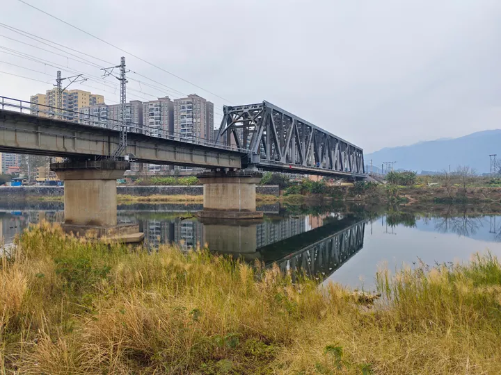
Photo adjustments
Full frame retained; proportionally resized and converted to WebP. No retouching or changes to the photographed subject. Card displays may crop the view.
- Administrative area
- County-level city · 县级市
- Part of
- Shaoguan
- Chinese name
- 乐昌市
- Local areas
- County-level city guide
Area & population
- Area in the source
- 2,421.00 km²
- Population · 2020
- 383,498
Source: cited geographic source, as of the dates shown.
Setting and landscape
Mountains make up 72% of the area, with the Dadong Mountains (大东山) in the west, the Dayao Mountains (大瑶山) in the centre and Jiufeng Mountain (九峰山) in the north-east; the land is higher in the centre and north and falls away to the east and west. The landforms are of two main kinds, shaped by running water and by karst. The climate is mid-subtropical with mountain features, averaging 19.6°C a year with about 1,500 mm of rain.
History
In 508, under the Liang of the Southern Dynasties, Lianghua County (梁化县) was split from Qujiang; in 598 the Sui renamed it Lechang after two mountains within it, Leshi (乐石) and Changshan (昌山). It became a county-level city in 1994. The Guangdong and Shaoguan chronicles offices list the Pingshi uprising (坪石暴动) among the peasant risings of the Land Revolution period; Pingshi is one of Lechang's towns. In the 2006 floods the old Guangzhou–Hankou railway through Lechang was badly damaged; the Pingshi–Lechang section was abandoned and in 2013 was submerged by the Wu River (武江) in the Lechang Gorge (乐昌峡) water-control project.
Four traditions are on Guangdong's provincial intangible-heritage list: Lechang flower-drum opera (乐昌花鼓戏), Lechang fish-drum singing (乐昌渔鼓), Jiufeng mountain songs (九峰山歌) and the frog lion dance (青蛙狮).
Food and local products
The Shaoguan and Guangdong chronicles offices name Lechang's golden nai plums (黄金奈李), water chestnuts and taro among the region's local produce, and list Lechang water-chestnut meatballs (乐昌马蹄肉丸) among Shaoguan dishes. Yanxishan Baimaojian tea (沿溪山白毛尖) is a national geographical-indication product.
Getting oriented
The city government sits in Lecheng sub-district (乐城街道). Lechang East Station is on the Beijing–Guangzhou high-speed railway, while Lechang and Pingshi (坪石) stations are on the older Beijing–Guangzhou line. The Beijing–Hong Kong–Macau Expressway and the Lechang–Guangzhou Expressway (乐广高速公路) also serve the city.
Highlights
- Jiufeng Mountain 九峰山: Mountain in the north-east of Lechang; Jiufeng mountain songs are on the provincial intangible-heritage list.
- Lechang flower-drum opera 乐昌花鼓戏: Local opera on Guangdong's provincial intangible-heritage list.
- Lechang water-chestnut meatballs 乐昌马蹄肉丸: Listed by the chronicles offices among Shaoguan dishes.
- Yanxishan Baimaojian tea 沿溪山白毛尖: Tea with national geographical-indication status.
Sources for this guide
乐昌市 - 维基百科,自由的百科全书 · Wikipedia (Chinese) · CC BY-SA 4.0
何为韶关? · Local Chronicles Offices of the Guangdong Provincial and Shaoguan Municipal Governments (China Local Chronicles Network)
Original English written from the listed sources and checked sentence by sentence against quoted extracts by a separate reviewer. Updated 2026-09-23.
Explore Lechang
Core places to explore, with English and Chinese names.
Places to explore around Lechang
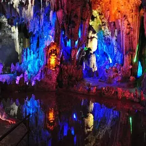 Nine Rapids and Eighteen Shoals Scenic Area ·
 Plan your visit
Getting there
Lechang is about 45 km in a straight line from central Shaoguan. Search for 乐昌市 in a map app to find stations and your accommodation.
Where to stay →Build your route
Start with Nine Rapids and Eighteen Shoals Scenic Area. The linked place guides have entrance and visit details.
Continue with Shaoguan →More in Shaoguan
Sources & geographic information
Administrative names and parent areas: Official geographic directory · Reference date 2026-09-06.
Some facts checked against 乐昌市 — Wikipedia contributors, CC BY-SA 4.0.
Photo: Nine Rapids and Eighteen Shoals Scenic Area · Source photographer · License not provided. EXIF orientation normalized; resized without changing aspect ratio; converted to WebP. No subject edits.
Map data © OpenStreetMap contributors. Pins mark approximate centres, not entrances or boundaries.