


Get to know Taojiang County
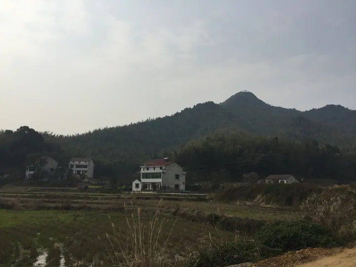
Photo adjustments
Full frame retained; proportionally resized and converted to WebP. No retouching or changes to the photographed subject. Card displays may crop the view.
- Administrative area
- County · 县
- Part of
- Yiyang
- Chinese name
- 桃江县
- Local areas
- County guide
Area & population
- Area in the source
- 2,068.14 km²
Source: cited geographic source, as of the dates shown.
Setting and landscape
The county mixes mountains in the southwest with hills in the northwest and east; the land falls from south to north and from west to east. Forest land covers about 63.5 percent of the county, and bamboo forest covered some 1.156 million mu in 2025. The county government counts more than 40 bamboo species. Protected wildlife recorded in the county includes the scaly-sided merganser and Elliot's pheasant.
History
Taojiang was split off from Yiyang County (益阳县) as a county of its own in 1952. The Yuelong Pagoda (跃龙塔) in the county seat is much older: local gentry built it in 1834 on a base first laid under the Qianlong emperor, and the county listed it as a protected cultural relic in 1984.
What to see
The Taohuajiang Bamboo Sea (桃花江竹海) is a national 4A scenic area and national forest park, with a bamboo culture museum and park, a lookout tower and the Tianwen Academy (天问书院). Fuqiu Mountain (浮邱山), known as the Little Nanyue, is a 3A scenic area with rocks, caves and springs and 118 old trees, all over 300 years old, including ginkgo and osmanthus; Chinese Wikipedia puts its main peak at 752 metres and notes a temple shared by Buddhists and Taoists on the summit. In the county seat the Yuelong Pagoda stands on the south bank of the Zi River, 50 metres from the water: a granite octagonal tower of seven storeys, 25.81 metres high, with a pair of stone lions at its west-facing door. It looks over the fishing platform named after the poet Qu Yuan (屈原).
Food and local products
The county government reckons about 40 million bamboo poles can be cut each year. Its mineral deposits include gold, manganese and antimony, as well as granite.
Highlights
- Taohuajiang Bamboo Sea 桃花江竹海: National 4A scenic area and national forest park with a bamboo culture museum.
- Fuqiu Mountain 浮邱山: 3A scenic area called the Little Nanyue, with 118 trees over 300 years old.
- Yuelong Pagoda 跃龙塔: Seven-storey granite pagoda of 1834 on the Zi River bank, county-protected since 1984.
Sources for this guide
桃江县 - 维基百科,自由的百科全书 · Chinese Wikipedia · CC BY-SA 4.0
自然资源 · Taojiang County People's Government
桃花江竹海景区 · Taojiang County Bureau of Culture, Tourism, Radio, Television and Sports
浮邱山景区 · Taojiang County Bureau of Culture, Tourism, Radio, Television and Sports
跃龙塔 · Taojiang County Bureau of Culture, Tourism, Radio, Television and Sports
Original English written from the listed sources and checked sentence by sentence against quoted extracts by a separate reviewer. Updated 2026-09-25.
Explore Taojiang County
Core places to explore, with English and Chinese names.
Taojiang County 桃江县
Plan your visit
Getting there
Taojiang County is about 40 km in a straight line from central Yiyang. Search for 桃江县 in a map app to find stations and your accommodation.
Where to stay →More in Yiyang
Sources & geographic information
Administrative names and parent areas: Official geographic directory · Reference date 2026-09-06.
Some facts checked against 桃江县 — Wikipedia contributors, CC BY-SA 4.0.
Map data © OpenStreetMap contributors. Pins mark approximate centres, not entrances or boundaries.