


Get to know Ningcheng County
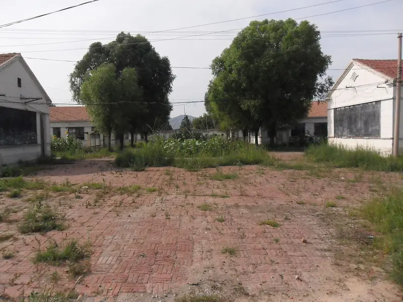
Photo adjustments
Full frame retained; EXIF orientation normalized, proportionally resized to at most 800 pixels and converted to WebP. No generated pixels or subject changes. Cards may crop the display.
- Administrative area
- County · 县
- Part of
- Chifeng
- Chinese name
- 宁城县
- Local areas
- County guide
Area & population
- Area in the source
- 4,326.00 km²
- Population · 2020
- 484,397
- Administrative seat
- Tianyi
Source: cited geographic source, as of the dates shown.
Setting and landscape
The county lies where the Inner Mongolian plateau gives way to the Songliao plain, and where the southern tip of the Greater Khingan (大兴安岭) meets the Yanshan (燕山). The Qilaotu Mountains (七老图山) stand along the west and the Nulu'erhu Mountains (努鲁尔虎山) run from southwest to northeast, while the Laoha River (老哈河) flows northeast. The land is highest in the west, at 1,890.9 metres on Cuiyun Peak (翠云峰), and falls to 459 metres; the county describes it as five parts mountain, four parts hill and one part river plain.
History
The Liao Middle Capital, Dading (中京大定府), stood at today's Tiejiangying in Daming (大明镇). The county government describes a square city with three concentric walls: Han, Hui and Jurchen commoners in the outer city, Khitan commoners and minor officials in the inner city, and the Khitan nobility in the imperial city. The Jin made it a secondary capital in 1153. The county government attributes its destruction to a fire set during Zhu Di's (朱棣) Jingnan campaign (靖难之役); because the city was destroyed under the Ming, the site is called "Daming" (Great Ming) city. Ningcheng became a county in 1932 and joined Inner Mongolia in 1956.
What to see
Three brick pagodas, two lines of wall and a reviewing platform survive at the Middle Capital. The best known, the Damingta (大明塔), an octagonal solid brick pagoda with thirteen tiers of eaves, has been a Major Historical and Cultural Site Protected at the National Level since 1961; the county government describes it as the largest surviving Liao pagoda in China. Falun Temple (法轮寺) in Dachengzi (大城子镇), the family temple of the Harqin Middle Banner princes, was built from 1745 to 1803 on the ruins of an older temple, its buildings rising along one south-north axis.
Heilihe (黑里河) became a national nature reserve in 2003 to protect natural Chinese pine forest; the Kangxi Emperor hunted there, and an inscription by the Qianlong Emperor survives on a cliff. The Reshui (热水) hot spring reaches 104°C at its central well; Liao emperors bathed there and the Kangxi Emperor's bathing well is marked by a pavilion. Hulu Valley (葫芦峪), in the Qilaotu Mountains, takes its name from peaks ringed like a gourd. At Daohugou (道虎沟), Chinese Wikipedia notes a Middle Jurassic fossil bed about 165 million years old.
Highlights
- Damingta 大明塔: Thirteen-eave Liao brick pagoda at the Middle Capital; national protected site since 1961.
- Liao Middle Capital site 辽中京遗址: Ruins of the Liao capital Dading, with three pagodas and two walls surviving.
- Falun Temple 法轮寺: Harqin Middle Banner princes' temple built 1745-1803.
- Heilihe National Nature Reserve 黑里河自然保护区: Natural Chinese pine forest; national reserve since 2003.
- Reshui hot spring 热水温泉: Spring reaching 104°C, bathed in by Liao emperors and the Kangxi Emperor.
Sources for this guide
宁城县 - 维基百科,自由的百科全书 · Chinese Wikipedia · CC BY-SA 4.0
宁城县人民政府 - 旅游资源 - 旅游资源 · Ningcheng County People's Government
宁城县人民政府 - 自然地理 - 自然地理 · Ningcheng County People's Government
Original English written from the listed sources and checked sentence by sentence against quoted extracts by a separate reviewer. Updated 2026-09-26.
Explore Ningcheng County
Core places to explore, with English and Chinese names.
Places to explore around Ningcheng County
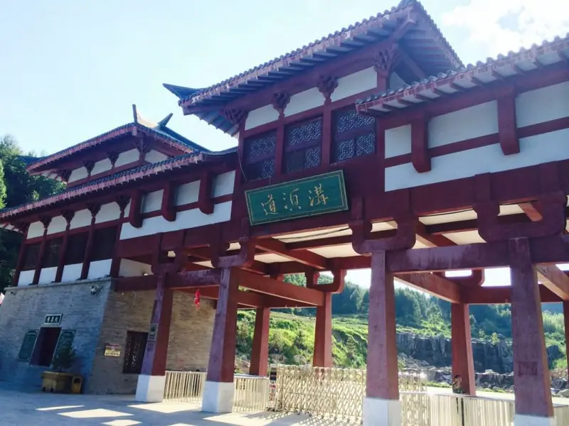 Daoxugou Valley ·
 Plan your visit
Getting there
Ningcheng County is about 85 km in a straight line from central Chifeng. Search for 宁城县 in a map app to find stations and your accommodation.
Where to stay →Build your route
Start with Daoxugou Valley. The linked place guides have entrance and visit details.
Continue with Chifeng →More in Chifeng
Sources & geographic information
Administrative names and parent areas: Official geographic directory · Reference date 2026-09-06.
Some facts checked against 宁城县 — Wikipedia contributors, CC BY-SA 4.0.
Photo: Daoxugou Valley · Source photographer · License not provided. EXIF orientation normalized; resized without changing aspect ratio; converted to WebP. No subject edits.
Map data © OpenStreetMap contributors. Pins mark approximate centres, not entrances or boundaries.