


Get to know Xinyi
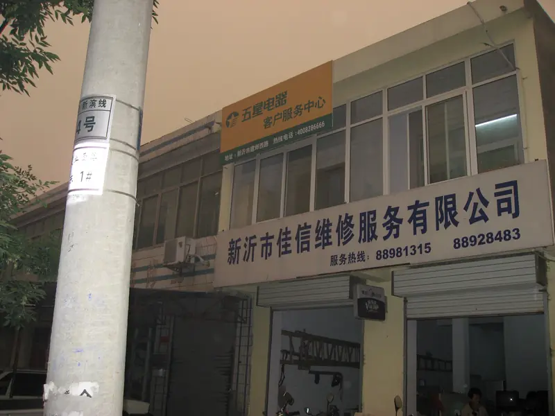
Photo adjustments
EXIF orientation normalized; resized without changing aspect ratio; converted to WebP. No subject edits.
- Administrative area
- County-level city · 县级市
- Part of
- Xuzhou
- Chinese name
- 新沂市
- Local areas
- County-level city guide
Area & population
- Area in the source
- 1,616.00 km²
- Population · 2020 census
- 969,922
Source: cited geographic source, as of the dates shown.
Setting and landscape
Xinyi lies where the hills of southern Shandong give way to the northern Jiangsu plain. Movement on the Tan-Lu fault (郯庐断裂) left a basin in the west, the low-lying Luoma Lake area mostly under 20 metres above sea level, while the centre and east belong to the southern end of the low hills of central and southern Shandong. Luoma Lake separates the city from Suqian (宿迁) to the south, and the city government notes that the lake and the Grand Canal both carry water on the eastern route of the South–North Water Transfer.
History
The city government gives Zhongwu (钟吾) and Siwu (司吾) as the area's ancient names and describes the Huating culture (花厅文化) as a meeting of the southern Liangzhu and northern Dawenkou cultures in the late Neolithic. The county was created in 1949 as Xin'an and renamed in 1952 after the newly dug Xinyi River (新沂河) that runs through it; it became a city in 1990. The government also records that the first shot of the Huaihai campaign (淮海战役) was fired here and that Chen Yi (陈毅) and Su Yu (粟裕) directed the Battle of Subei (宿北大战) from Xinyi.
What to see
The Neolithic Huating site (花厅遗址) in Maling township (马陵乡) is on the national key heritage list. Two provincially protected sites are on Maling Mountain: the forward command post of the 1946 Battle of Subei, listed in 1982, and the Neolithic Xiaoxuzhuang site (小徐庄遗址), listed in 2002.
In the old town of Yaowan, the Zhao Xinlong sauce workshop (赵信隆酱园店) was founded in 1623 by Zhao Jin'ao (赵金鏖), a merchant from Zhenjiang, and started with more than 800 sauce vats. It is known for sweet soy sauce (甜油) made by traditional brewing and, with that sauce and mung-bean liquor (绿豆烧酒), makes up the town's "three treasures". It has been a provincially protected building since 2006.
Getting oriented
Xinyi is where the eastern Longhai railway (陇海铁路) meets the Jiaoxin (胶新铁路) and Xinchang (新长铁路) lines. It borders Tancheng (郯城县) in Shandong to the north, Donghai (东海) and Shuyang (沭阳) to the east and Pizhou (邳州) to the west.
Highlights
- Maling Mountain 马陵山: Hills with the 1946 Battle of Subei forward command post and the Neolithic Xiaoxuzhuang site, both provincially protected.
- Yaowan old town 窑湾古镇: Old town whose Zhao Xinlong sauce workshop, founded in 1623, is a surviving piece of Grand Canal commerce and brewing.
- Huating site 花厅遗址: Neolithic site in Maling township on the national key heritage list.
- Luoma Lake 骆马湖: Lake on Xinyi's southern edge, part of the eastern route of the South–North Water Transfer.
Sources for this guide
概况区划 · Xinyi Municipal People's Government
新沂市 · Chinese Wikipedia · CC BY-SA 4.0
新沂市各级文物保护单位列表 · Chinese Wikipedia · CC BY-SA 4.0
赵信隆酱园店 · Chinese Wikipedia · CC BY-SA 4.0
Original English written from the listed sources and checked sentence by sentence against quoted extracts by a separate reviewer. Updated 2026-09-25.
Explore Xinyi
Core places to explore, with English and Chinese names.
Places to explore around Xinyi
 Rows of traditional fermentation urns in Yaowan Ancient Town, Xinyi · 新沂市窑湾古镇内成排的传统酿造大缸 Source-recorded photograph date: Taken on 8 September 2007.
Yaowan Ancient Town窑湾古镇
Yaowan is a restored canal trading town beside Luoma Lake in Xinyi, where wharves, merchant residences and workshops recall the traffic of the Grand Canal.
Read the place guide →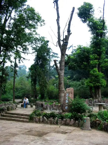 Maling Mountain · 马陵山
Maling Mountain马陵山
Maling Mountain's scenic area occupies wooded low hills south of Xinyi, with Danxia rock scenery, caves, valleys and water among the slopes.
Read the place guide →Plan your visit
Getting there
Xinyi is about 105 km in a straight line from central Xuzhou. Search for 新沂市 in a map app to find stations and your accommodation.
Where to stay →Build your route
Yaowan Ancient Town and Maling Mountain are both listed here. The linked place guides have entrance and visit details.
Continue with Xuzhou →More in Xuzhou
Sources & geographic information
Administrative names and parent areas: Official geographic directory · Reference date 2026-09-06.
Some facts checked against 新沂市 — Wikipedia contributors, CC BY-SA 4.0.
Some facts checked against 新沂市各级文物保护单位列表 — Wikipedia contributors, CC BY-SA 4.0.
Some facts checked against 赵信隆酱园店 — Wikipedia contributors, CC BY-SA 4.0.
Photo: Yaowan Ancient Town · WeelStone · CC BY-SA 3.0. Full frame retained; proportionally resized and converted to WebP. No retouching or changes to the photographed subject. Card displays may crop the view.

Photo: Maling Mountain · WeelStone · CC BY-SA 3.0. EXIF orientation normalized; resized without changing aspect ratio; converted to WebP. No subject edits.

Map data © OpenStreetMap contributors. Pins mark approximate centres, not entrances or boundaries.