


Get to know Qinghe District
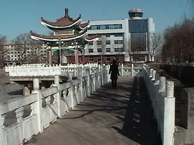
Photo adjustments
Full frame retained; proportionally resized and converted to WebP. No retouching or changes to the photographed subject. Card displays may crop the view.
- Administrative area
- District · 市辖区
- Part of
- Tieling
- Chinese name
- 清河区
- Local areas
- District guide
Area & population
- Area in the source
- 480.00 km²
- Population · 2020 census
- 84,693
Source: cited geographic source, as of the dates shown.
Setting and landscape
The ground is high in the east and low in the west. The eastern half is low hills, generally 200 to 300 metres above sea level, with seven rivers and nine peaks over 300 metres; the west is the alluvial plain of the Qing River at 100 to 200 metres. The district government describes a continental monsoon climate with four clear seasons, about 690 mm of rain and a frost-free period of 154 days a year.
Qinghe Reservoir, on the Qing River, a tributary of the Liao River (辽河), is a large reservoir run by the province for flood control, irrigation and industrial water, and also used for fish farming and tourism. Niejia Manchu Township (聂家满族乡) lies on the reservoir's upper south shore, 29 km from the district's urban area, and is the district's only ethnic township; its Yuhuang Mountain (玉皇山) scenic area belongs to the outliers of the Changbai range, with the main peak, Yuhuangding (玉皇顶), in Guangdongshan village (广东山村).
History
Under the Qing dynasty the area belonged to Kaiyuan County (开原县), set up in 1664. The district itself was created in June 1984, when the town and township of Qinghe were transferred from Kaiyuan County to Tieling city. In 1998 Yangmulinzi (杨木林子) and a Manchu township, renamed Niejia, were added from Kaiyuan. By the end of 2019 the district comprised two towns, one township and two subdistricts.
What to see and eat
The district government's seasonal touring route, themed on spring flowers and birds, summer coolness, autumn maples and winter ice and snow, links a wetland park, a grape-picking village, the Shijia Manchu folk village (石家满族民俗村) in Zhangxiang town (张相镇) with its "eight big bowls" (八大碗) banquet, and the pear-blossom valley at Humigou (斛米沟梨花谷). A farm at Xilaoguyu village (西老谷峪村) in Niejia township offers wild spring greens such as ci nen ya (刺嫩芽, the young shoots of the prickly angelica tree) and dandelion (婆婆丁) in April. In Hongqi subdistrict (红旗街道), shaman dances, stilt walking and yangge dancing appear in the streets during Manchu rites and festivals.
Highlights
- Qinghe Reservoir 清河水库: Large provincial reservoir on the Qing River, a Liao River tributary, used for flood control, irrigation, fish farming and tourism.
- Yuhuang Mountain 玉皇山: Scenic area in Niejia Manchu Township, part of the Changbai outliers, with its main peak in Guangdongshan village.
- Humigou pear-blossom valley 斛米沟梨花谷: Stop on the district's seasonal touring route in Zhangxiang town.
- Shijia Manchu folk village 石家满族民俗村: Village in Zhangxiang town on the district's touring route, serving the eight-bowl banquet.
Sources for this guide
清河概况 · Qinghe District People's Government, Tieling
地理环境 · Qinghe District People's Government, Tieling
历史沿革 · Qinghe District People's Government, Tieling
清河水库 (铁岭) · Wikipedia (Chinese) · CC BY-SA 4.0
Original English written from the listed sources and checked sentence by sentence against quoted extracts by a separate reviewer. Updated 2026-09-25.
Explore Qinghe District
Core places to explore, with English and Chinese names.
Qinghe District 清河区
Plan your visit
Getting there
Qinghe District is about 50 km in a straight line from central Tieling. Search for 清河区 in a map app to find stations and your accommodation.
Where to stay →More in Tieling
Sources & geographic information
Administrative names and parent areas: Official geographic directory · Reference date 2026-09-06.
Some facts checked against 清河水库 (铁岭) — Wikipedia contributors, CC BY-SA 4.0.
Map data © OpenStreetMap contributors. Pins mark approximate centres, not entrances or boundaries.