


Get to know Ningjin County
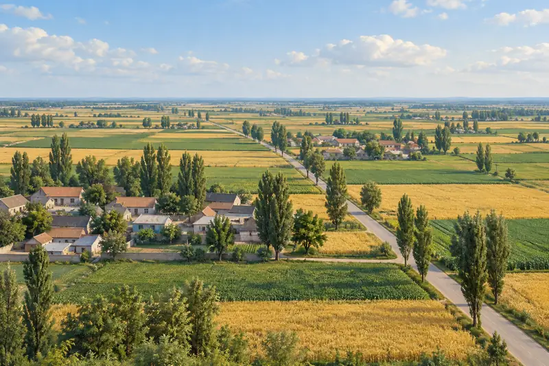
- Administrative area
- County · 县
- Part of
- Dezhou
- Chinese name
- 宁津县
- Local areas
- County guide
Area & population
- Area in the source
- 833.00 km²
- Population · 2019
- 463,300
Source: cited geographic source, as of the dates shown.
What to see
Debai Acrobatics and Cricket Valley combines acrobatics and cricket culture with food, woodcarving and performance. It also contains an ancient architecture museum. In the west of the county, Baodian Town (保店镇) has the Jinshuo rural complex (金硕田园综合体) and Sunzhuang Pear Orchard (孙庄梨园). Eastern cultural sites include the former home of Guo Chengqing (郭澄清故居) and the Cuiyang War of Resistance Memorial Hall (崔杨抗日战争纪念馆).
Food and folk culture
The county’s northern food-and-folklore route brings together Changguan Baozi (长官包子), Daliu Noodles (大柳面) and Shen Family Braised Chicken (沈氏扒鸡). The Daliu Folk Exhibition Hall (大柳民俗展陈馆) is another stop on that route. Dezhou’s tourism bureau identifies these foods with welcoming guests and celebrating festivals in Ningjin County.
Explore Ningjin County
Core places to explore, with English and Chinese names.
Ningjin County 宁津县
Plan your visit
Getting there
Ningjin County is about 45 km in a straight line from central Dezhou. Search for 宁津县 in a map app to find stations and your accommodation.
Where to stay →More in Dezhou
Sources & geographic information
Administrative names and parent areas: Official geographic directory · Reference date 2026-09-06.
Map data © OpenStreetMap contributors. Pins mark approximate centres, not entrances or boundaries.