


Get to know Shangdang District
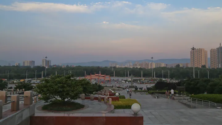
Photo adjustments
Full frame retained; proportionally resized and converted to WebP. No retouching or changes to the photographed subject. Card displays may crop the view.
- Administrative area
- District · 市辖区
- Part of
- Changzhi
- Chinese name
- 上党区
- Local areas
- District guide
What to see
The Tianxia Duchenghuang Temple (天下都城隍庙) stands on Tianzi Ridge (天紫岭), away from the county town. Its south-facing layout divides into two courtyards: the upper one contains Lingxiao Hall (灵霄宝殿), subsidiary halls and side rooms, while the lower one holds a theatre, dressing buildings and viewing galleries. Outside the mountain gate, a flight of 108 steps extends towards the southern boundary of Shangdang.
History
Changzhi County was established in 1529. The district also preserves the Beitianhe Shangdang Campaign Headquarters (北天河上党战役刘邓指挥部旧址) and Nancheng Tunnels (南呈地道), while Tianxia Duchenghuang Temple’s ridge-top buildings have glazed roof ridges, carved beams and painted decoration.
Explore Shangdang District
Core places to explore, with English and Chinese names.
Shangdang District 上党区
Plan your visit
Getting there
Shangdang District is about 20 km in a straight line from central Changzhi. Search for 上党区 in a map app to find stations and your accommodation.
Where to stay →More in Changzhi
Sources & geographic information
Administrative names and parent areas: Official geographic directory · Reference date 2026-09-06.
Map data © OpenStreetMap contributors. Pins mark approximate centres, not entrances or boundaries.