


Get to know Huairen
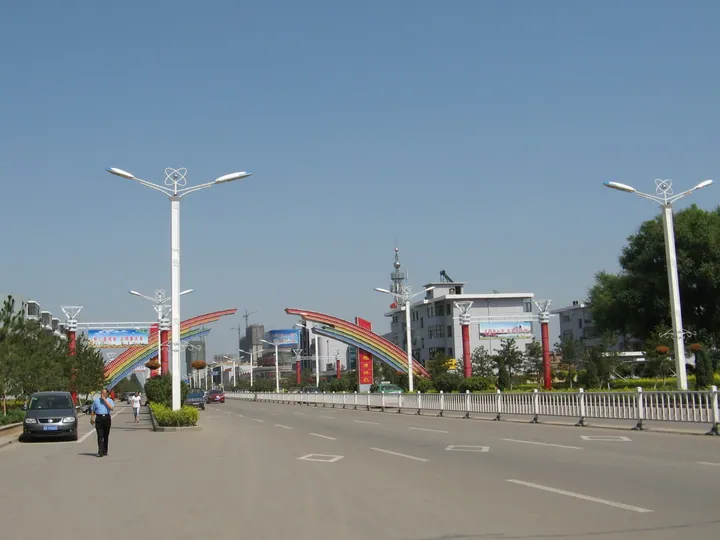
Photo adjustments
Full frame retained; proportionally resized and converted to WebP. No retouching or changes to the photographed subject. Card displays may crop the view.
- Administrative area
- County-level city · 县级市
- Part of
- Shuozhou
- Chinese name
- 怀仁市
- Local areas
- County-level city guide
A brick pagoda on Qingliang Mountain
The Huayan Temple Brick Pagoda (华严寺砖塔) stands on the main summit of Qingliang Mountain (清凉山), eleven kilometres west of Huairen’s urban area. It is 10.8 metres tall, octagonal, and has seven closely spaced tiers of eaves. Its south-facing arched doorway leads into an inner chamber; carvings of windows and arched doors alternate around the remaining faces. Bells hang from the eave corners.
Dating the pagoda
Huairen City Government attributes the pagoda to the Liao dynasty from its style and nearby pagoda inscriptions, while noting the absence of a precise historical date. It underwent comprehensive restoration in 1993 and gained provincial cultural relic protection in 1996. The city also contains the Emaokou Stone-tool Site (鹅毛口古石器遗址).
Sources for this guide
怀仁概况 · Huairen City Government
怀仁七塔——清凉山华严寺砖塔 · Huairen City Government / Radio and Television News Centre
Original English written from the listed sources and checked sentence by sentence against quoted extracts by a separate reviewer. Updated 2026-09-26.
Explore Huairen
Core places to explore, with English and Chinese names.
Plan your visit
Getting there
Huairen is about 80 km in a straight line from central Shuozhou. Search for 怀仁市 in a map app to find stations and your accommodation.
Where to stay →More in Shuozhou
Sources & geographic information
Administrative names and parent areas: Official geographic directory · Reference date 2026-09-06.
Map data © OpenStreetMap contributors. Pins mark approximate centres, not entrances or boundaries.