


Get to know Xinghualing District
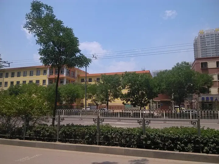
Photo adjustments
Full frame retained; proportionally resized and converted to WebP. No retouching or changes to the photographed subject. Card displays may crop the view.
- Administrative area
- District · 市辖区
- Part of
- Taiyuan
- Chinese name
- 杏花岭区
- Local areas
- District guide
Area & population
- Area in the source
- 147.00 km²
- Population · 2020
- 779,479
Source: cited geographic source, as of the dates shown.
From river to hills
The eastern uplands continue the Xizhou Mountains (系舟山), part of the Taihang Mountains (太行山). Loess covers both slopes and intervening valleys, forming gullies, basins and alluvial fans. The district’s elevation ranges from 800 to 1,670 metres.
Changjing Tower
Changjing Tower (唱经楼) stands on Gulou Street (鼓楼街), facing south. Founded in the early Ming dynasty, it was rebuilt during the Zhengde reign, 1506–1521, and repaired repeatedly under the Qing. Its axis combines a main hall, connecting corridor and tower. The main hall is three bays wide beneath a hip-and-gable roof; the tower’s lower storey has a surrounding gallery.
Sources for this guide
自然地理-太原市杏花岭区人民政府门户网站 · Xinghualing District Government
唱经楼-太原市杏花岭区人民政府门户网站 · Xinghualing District Government
Original English written from the listed sources and checked sentence by sentence against quoted extracts by a separate reviewer. Updated 2026-09-26.
Explore Xinghualing District
Core places to explore, with English and Chinese names.
Xinghualing District 杏花岭区
Plan your visit
Getting there
Xinghualing District is about 5 km in a straight line from central Taiyuan. Search for 杏花岭区 in a map app to find stations and your accommodation.
Where to stay →More in Taiyuan
Sources & geographic information
Administrative names and parent areas: Official geographic directory · Reference date 2026-09-06.
Map data © OpenStreetMap contributors. Pins mark approximate centres, not entrances or boundaries.