


Get to know Yangqu County
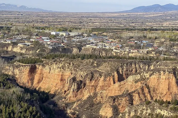
Photo adjustments
Full frame retained; proportionally resized and converted to WebP. No retouching or changes to the photographed subject. Card displays may crop the view.
- Administrative area
- County · 县
- Part of
- Taiyuan
- Chinese name
- 阳曲县
- Local areas
- County guide
Area & population
- Population · 2020
- 128,483
Source: cited geographic source, as of the dates shown.
Ciren Temple at Dayu
Ciren Temple (慈仁寺), east of the middle school in Dayu Town (大盂镇), was originally called Tianxian Shengmu Temple (天仙圣母庙). Its founding date is unknown; Yangqu County Government records a Qing principal structure and rebuilding in 2007. Two courtyards align a gateway, intermediate hall and main hall. Bell and drum towers flank the axis, and a semicircular covered passage surrounds the second courtyard.
Grain and orchard produce
Yangqu millet (阳曲小米) is a local speciality, alongside Zhangba white peaches (张拔白桃), Zhongbing crisp pears (中兵酥梨) and Xigou apples (西沟苹果). Millet and maize are both grown in the county’s agricultural landscape.
Sources for this guide
阳曲县基本情况-太原市阳曲县人民政府门户网站 · Yangqu County Government
大盂慈仁寺-太原市阳曲县人民政府门户网站 · Yangqu County Government
Original English written from the listed sources and checked sentence by sentence against quoted extracts by a separate reviewer. Updated 2026-09-26.
Explore Yangqu County
Core places to explore, with English and Chinese names.
Yangqu County 阳曲县
Plan your visit
Getting there
Yangqu County is about 25 km in a straight line from central Taiyuan. Search for 阳曲县 in a map app to find stations and your accommodation.
Where to stay →More in Taiyuan
Sources & geographic information
Administrative names and parent areas: Official geographic directory · Reference date 2026-09-06.
Map data © OpenStreetMap contributors. Pins mark approximate centres, not entrances or boundaries.