


Get to know Mabian Yi Autonomous County
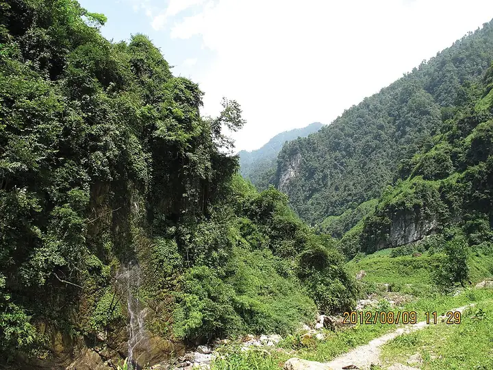
Photo adjustments
Full-frame source proportionally resized and converted to WebP for display. No subject alteration. Source-supplied marks and edits remain; cards may crop the view.
- Administrative area
- Autonomous county · 自治县
- Part of
- Leshan
- Chinese name
- 马边彝族自治县
- Local areas
- Autonomous county guide
Area & population
- Area in the source
- 2,293.00 km²
- Population · 2020
- 188,251
- Administrative seat
- Minjian
Source: cited geographic source, as of the dates shown.
Village museums and performances
A cultural touring route links Yanfeng Folk Museum (烟峰民俗博物馆), Yanfeng Intangible Heritage Exhibition Hall (烟峰非遗展示馆), and the village-history museum at Xiaoguxi (小谷溪). The Manao Miao Village exhibition hall (玛瑙苗寨苗族展示馆) presents another community's culture. Mabian's performance traditions include yueqin playing (月琴弹奏), while its seasonal events range from spring tea-picking celebrations to the summer Torch Festival (火把节) and winter singing competitions.
Tea, bamboo shoots and green plums
Mabian green tea (马边绿茶) is one of the county's local foods, alongside Tuotuo meat (坨坨肉) and chaoshou wontons (抄手). Bamboo shoots are another agricultural product. Green plums (青梅) are processed into fruit wine, dried fruit and juice.
Sources for this guide
三月彝乡美如画!四川第十四届(春季)乡村文旅节在马边开幕_四川在线 · Sichuan Online
策“马”扬“边”展风华 奋楫笃行谱新篇---四川日报电子版 · Sichuan Daily
Original English written from the listed sources and checked sentence by sentence against quoted extracts by a separate reviewer. Updated 2026-09-26.
Explore Mabian Yi Autonomous County
Core places to explore, with English and Chinese names.
Mabian Yi Autonomous County 马边彝族自治县
Plan your visit
Getting there
Mabian Yi Autonomous County is about 85 km in a straight line from central Leshan. Search for 马边彝族自治县 in a map app to find stations and your accommodation.
Where to stay →More in Leshan
Sources & geographic information
Administrative names and parent areas: Official geographic directory (dmfw.mca.gov.cn) · Reference date 2026-09-06.
Map data © OpenStreetMap contributors. Pins mark approximate centres, not entrances or boundaries.